Transport Functions
Multimodal
Hub Profile
Place type
Local administrative seat
Region
Rheinland-Pfalz
Population
4,039
Time zone
Europe/Berlin
Elevation
227 m
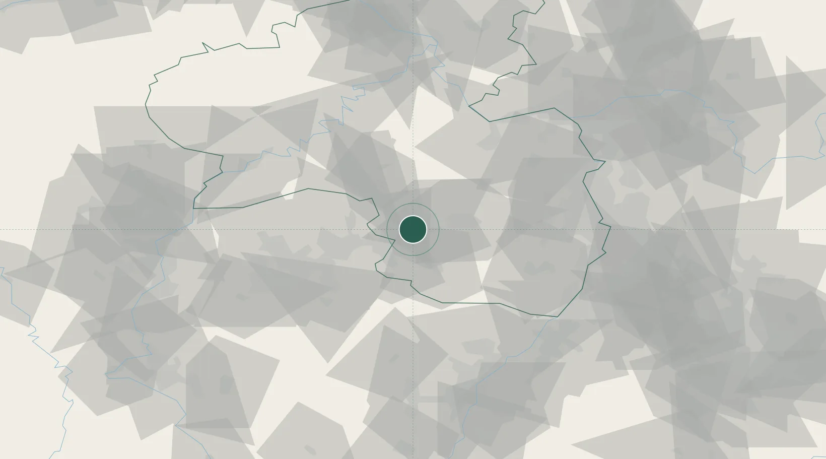
Location
Nearby Logistics Neighbours
Cities
- 1Hauptstuhl2 km
- 2Dittweiler2 km
- 3Bruchmühlbach-Miesau5 km
- 4Henschtal7 km
- 5Kottweiler-Schwanden8 km
Airports
- 1Ramstein Air Base9 km
- 2Saarbrücken Airport35 km
- 3Frankfurt-Hahn Airport61 km
- 4Mannheim-City Airport75 km
- 5Phalsbourg-Bourscheid Air Base75 km
Trade Zones
- 1ZFU La Cité Behren-lès-Forbach49 km
- 2ZFU Hautepierre93 km
- 3Luxembourg Free Port94 km
- 4ZFU Neuhof100 km
- 5ZFU Woippy-Metz101 km
DatabookThe Record of Consolidated Knowledge
Germany beyond logistics?