Transport Functions
Multimodal
Hub Profile
Region
RP
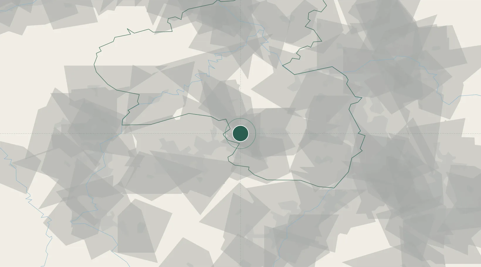
Location
Nearby Logistics Neighbours
Cities
- 1Altenkirchen6 km
- 2Hütschenhausen7 km
- 3Dittweiler8 km
- 4Bruchmühlbach-Miesau8 km
- 5Hauptstuhl8 km
Airports
- 1Ramstein Air Base15 km
- 2Saarbrücken Airport34 km
- 3Frankfurt-Hahn Airport56 km
- 4Spangdahlem Air Base77 km
- 5Phalsbourg-Bourscheid Air Base77 km
Trade Zones
- 1ZFU La Cité Behren-lès-Forbach47 km
- 2Luxembourg Free Port88 km
- 3ZFU Woippy-Metz97 km
- 4ZFU Hautepierre98 km
- 5ZFU Metz98 km
DatabookThe Record of Consolidated Knowledge
Germany beyond logistics?