Transport Functions
Multimodal
Hub Profile
Place type
Local administrative seat
Region
Rheinland-Pfalz
Population
929
Time zone
Europe/Berlin
Elevation
268 m
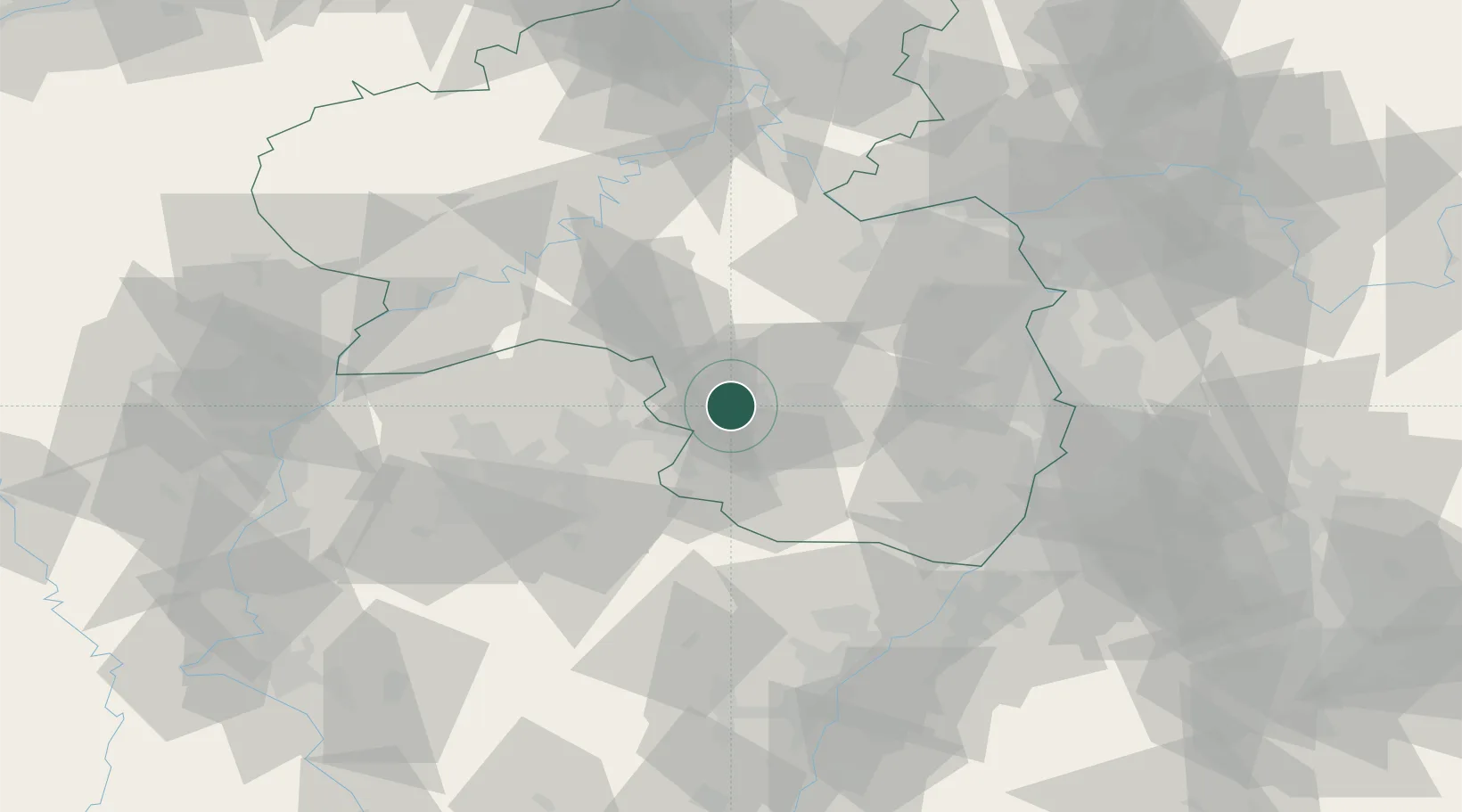
Location
Nearby Logistics Neighbours
Cities
- 1Hütschenhausen2 km
- 2Hauptstuhl4 km
- 3Kottweiler-Schwanden6 km
- 4Mackenbach7 km
- 5Bruchmühlbach-Miesau7 km
Airports
- 1Ramstein Air Base7 km
- 2Saarbrücken Airport37 km
- 3Frankfurt-Hahn Airport60 km
- 4Mannheim-City Airport73 km
- 5Mainz-Finthen Airfield76 km
Trade Zones
- 1ZFU La Cité Behren-lès-Forbach51 km
- 2ZFU Hautepierre94 km
- 3Luxembourg Free Port95 km
- 4ZFU Neuhof101 km
- 5ZFU Woippy-Metz103 km
DatabookThe Record of Consolidated Knowledge
Germany beyond logistics?