UN/LOCODE hub · Germany
DEZON

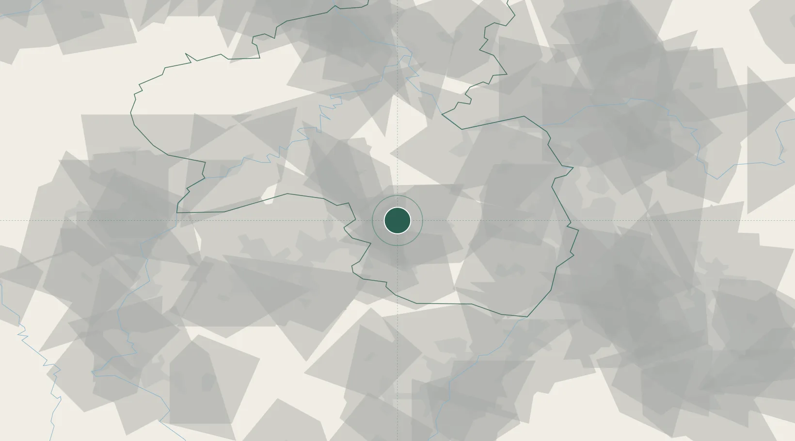
Kottweiler-Schwanden

49.4833°, 7.5333°
1,435
Population
1
Transport functions

Transport Functions

Multimodal
UN/LOCODE

Hub Profile

Place type
Local administrative seat
GeoNames
Region
Rheinland-Pfalz
GeoNames
Population
1,435
GeoNames
Time zone
Europe/Berlin
GeoNames
Elevation
281 m
GeoNames

Location

Location of DEZON
Natural Earth 10m (public domain) · Rheinland-Pfalz · DEZON · 49.48, 7.53GoogleOSMYandex

Nearby Logistics Neighbours

Cities
  1. 1Mackenbach4 km
  2. 2Dittweiler6 km
  3. 3Hütschenhausen8 km
  4. 4Hauptstuhl10 km
  5. 5Henschtal10 km
Nearest neighbours — logibook spatial index (haversine) over the source coordinates
Ports
  1. 1Bruxelles274 km
  2. 2Antwerpen294 km
  3. 3Ghent322 km
  4. 4Dordrecht330 km
  5. 5Hansweert332 km
Nearest neighbours — logibook spatial index (haversine) over the source coordinates
Airports
  1. 1Ramstein Air Base7 km
  2. 2Saarbrücken Airport43 km
  3. 3Frankfurt-Hahn Airport55 km
  4. 4Mainz-Finthen Airfield70 km
  5. 5Mannheim-City Airport71 km
Nearest neighbours — logibook spatial index (haversine) over the source coordinates
Trade Zones
  1. 1ZFU La Cité Behren-lès-Forbach56 km
  2. 2Luxembourg Free Port96 km
  3. 3ZFU Hautepierre100 km
  4. 4ZFU Neuhof106 km
  5. 5ZFU Woippy-Metz107 km
Nearest neighbours — logibook spatial index (haversine) over the source coordinates
DatabookThe Record of Consolidated Knowledge
Germany beyond logistics?
Browse databook

All Sources

LocationsUN/LOCODE
UN/LOCODE — free
LocationsGeoNames
CC BY 4.0
Portsthe NGA World Port Index
Public domain (US gov)
AirportsOurAirports
Public domain
Trade Zonesthe World Bank SEZ database
CC BY 4.0
Trade ZonesOpen Zone Map
CC BY
← Germany locations