Transport Functions
Road
Multimodal
Hub Profile
Place type
Populated place
Region
Brandenburg
Time zone
Europe/Berlin
Elevation
90 m
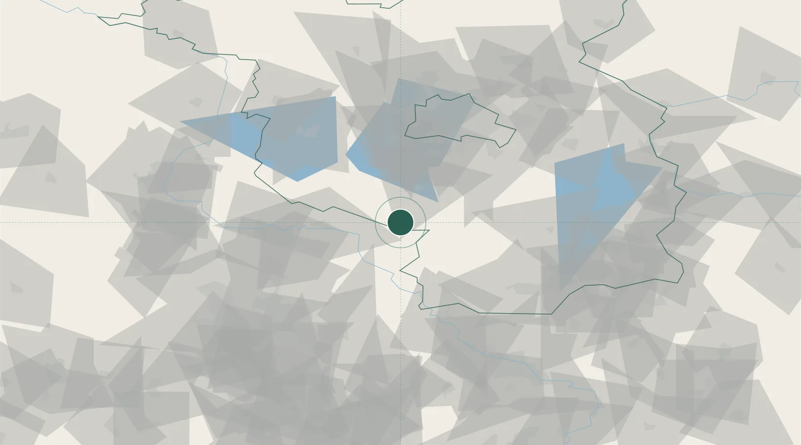
Location
Nearby Logistics Neighbours
Cities
- 1Niedergörsdorf10 km
- 2Jessen15 km
- 3Elster18 km
- 4Zahna20 km
- 5Luckenwalde22 km
Ports
- 1Szczecin196 km
- 2Police211 km
- 3Swinoujscie238 km
- 4Wolgast244 km
- 5Wismar247 km
Airports
- 1Holzdorf Air Base16 km
- 2Berlin Brandenburg Airport59 km
- 3Zerbst Airfield64 km
- 4Leipzig/Halle Airport78 km
- 5Dresden Airport98 km
Trade Zones
- 1Kostrzyń-Słubice SEZ132 km
- 2Most - Joseph Industrial Zone162 km
- 3Žatec - Triangle Strategic Industrial Zone171 km
- 4Podbořany Industrial Zone187 km
- 5Szczecin Duty Free Zone197 km
DatabookThe Record of Consolidated Knowledge
Germany beyond logistics?