Transport Functions
Multimodal
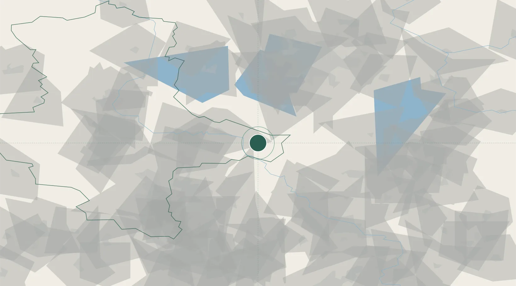
Hub Profile
Place type
Populated place
Region
Saxony-Anhalt
Population
11,065
Time zone
Europe/Berlin
Elevation
78 m
Location
Nearby Logistics Neighbours
Cities
- 1Elster10 km
- 2Pretzsch (Elbe)13 km
- 3Prettin13 km
- 4Gallin15 km
- 5Zellendorf15 km
Ports
- 1Szczecin211 km
- 2Police226 km
- 3Swinoujscie253 km
- 4Wismar256 km
- 5Wolgast258 km
Airports
- 1Holzdorf Air Base15 km
- 2Zerbst Airfield60 km
- 3Leipzig/Halle Airport64 km
- 4Berlin Brandenburg Airport75 km
- 5Dresden Airport92 km
Trade Zones
- 1Kostrzyń-Słubice SEZ146 km
- 2Most - Joseph Industrial Zone152 km
- 3Žatec - Triangle Strategic Industrial Zone160 km
- 4Podbořany Industrial Zone176 km
- 5Szczecin Duty Free Zone213 km
DatabookThe Record of Consolidated Knowledge
Germany beyond logistics?