Transport Functions
Rail
Road
Hub Profile
Place type
District seat
Region
Brandenburg
Population
21,616
Time zone
Europe/Berlin
Elevation
52 m
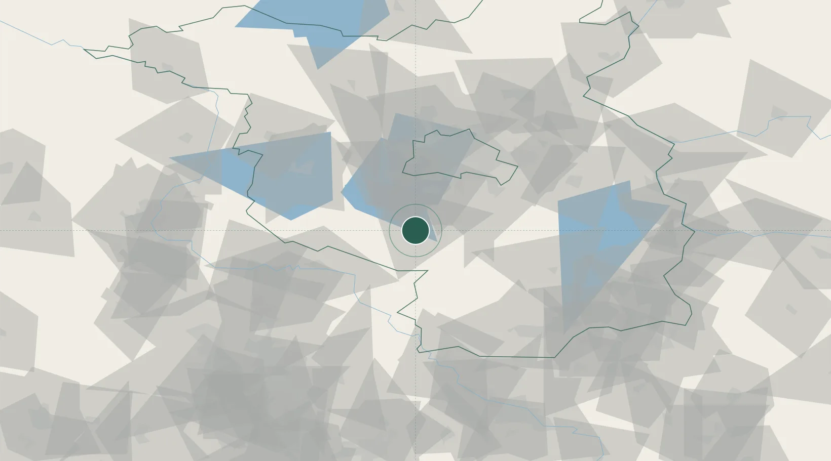
Location
Nearby Logistics Neighbours
Cities
- 1Nuthe-Urstromtal4 km
- 2Trebbin15 km
- 3Niedergörsdorf16 km
- 4Mellensee19 km
- 5Zellendorf22 km
Ports
- 1Szczecin175 km
- 2Police190 km
- 3Swinoujscie217 km
- 4Wolgast223 km
- 5Wismar232 km
Airports
- 1Holzdorf Air Base35 km
- 2Berlin Brandenburg Airport39 km
- 3Zerbst Airfield70 km
- 4Leipzig/Halle Airport98 km
- 5Dresden Airport113 km
Trade Zones
- 1Kostrzyń-Słubice SEZ115 km
- 2Szczecin Duty Free Zone176 km
- 3Most - Joseph Industrial Zone181 km
- 4Žatec - Triangle Strategic Industrial Zone190 km
- 5Podbořany Industrial Zone207 km
DatabookThe Record of Consolidated Knowledge
Germany beyond logistics?