Transport Functions
Rail
Road
Multimodal
Hub Profile
Place type
Local administrative seat
Region
Brandenburg
Population
7,197
Time zone
Europe/Berlin
Elevation
87 m
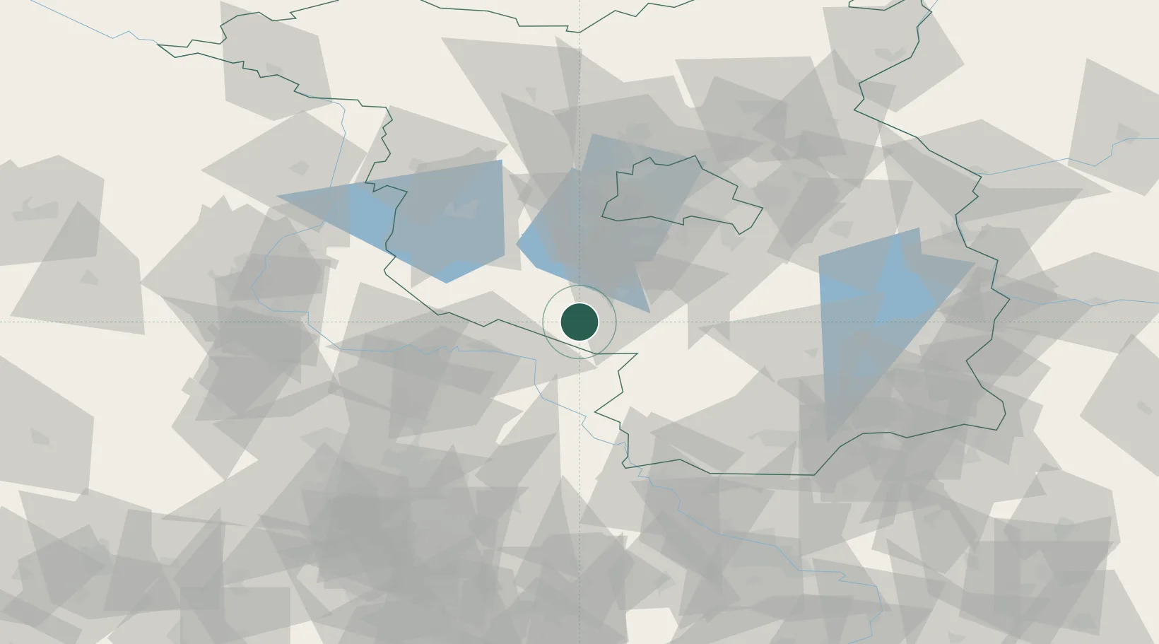
Location
Nearby Logistics Neighbours
Cities
- 1Zellendorf10 km
- 2Luckenwalde16 km
- 3Zahna17 km
- 4Nuthe-Urstromtal20 km
- 5Elster20 km
Ports
- 1Szczecin191 km
- 2Police205 km
- 3Swinoujscie231 km
- 4Wolgast236 km
- 5Wismar237 km
Airports
- 1Holzdorf Air Base27 km
- 2Berlin Brandenburg Airport54 km
- 3Zerbst Airfield58 km
- 4Leipzig/Halle Airport82 km
- 5Dresden Airport108 km
Trade Zones
- 1Kostrzyń-Słubice SEZ131 km
- 2Most - Joseph Industrial Zone173 km
- 3Žatec - Triangle Strategic Industrial Zone180 km
- 4Szczecin Duty Free Zone192 km
- 5Podbořany Industrial Zone197 km
DatabookThe Record of Consolidated Knowledge
Germany beyond logistics?