Transport Functions
Rail
Road
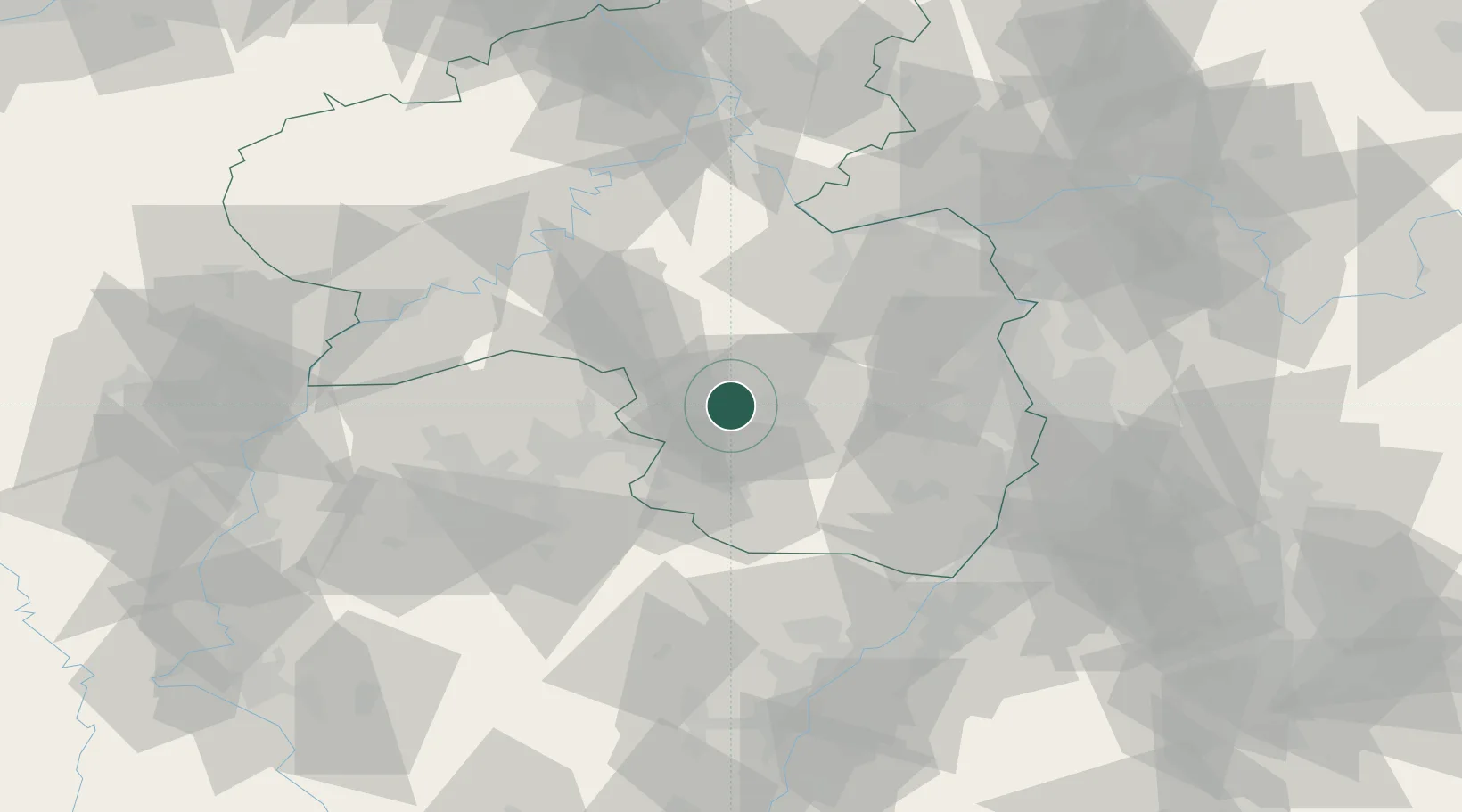
Hub Profile
Place type
Local administrative seat
Region
Rheinland-Pfalz
Population
2,119
Time zone
Europe/Berlin
Elevation
276 m
Location
Nearby Logistics Neighbours
Cities
- 1Kottweiler-Schwanden4 km
- 2Dittweiler7 km
- 3Hütschenhausen9 km
- 4Kreimbach-Kaulbach10 km
- 5Hauptstuhl10 km
Airports
- 1Ramstein Air Base4 km
- 2Saarbrücken Airport44 km
- 3Frankfurt-Hahn Airport58 km
- 4Mannheim-City Airport67 km
- 5Mainz-Finthen Airfield69 km
Trade Zones
- 1ZFU La Cité Behren-lès-Forbach58 km
- 2ZFU Hautepierre97 km
- 3Luxembourg Free Port100 km
- 4ZFU Neuhof104 km
- 5ZFU Woippy-Metz110 km
DatabookThe Record of Consolidated Knowledge
Germany beyond logistics?