UN/LOCODE hub · Germany
DEZOH

Hohenkammer

48.4167°, 11.5333°
2,256
Population
1
Transport functions

Transport Functions

Multimodal
UN/LOCODE

Hub Profile

Place type
Local administrative seat
GeoNames
Region
Bavaria
GeoNames
Population
2,256
GeoNames
Time zone
Europe/Berlin
GeoNames
Elevation
461 m
GeoNames

Location

Location of DEZOH
Natural Earth 10m (public domain) · Bavaria · DEZOH · 48.42, 11.53GoogleOSMYandex

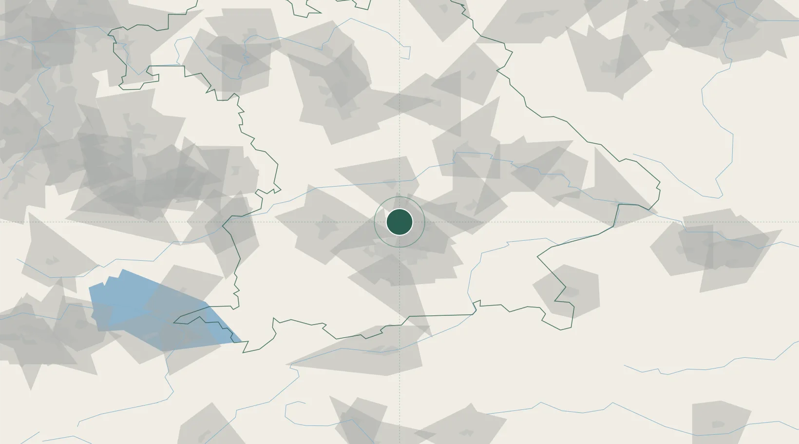
Nearby Logistics Neighbours

Cities
  1. 1Petershausen5 km
  2. 2Kranzberg6 km
  3. 3Vierkirchen7 km
  4. 4Röhrmoos10 km
  5. 5Kirchdorf an der Amper10 km
Nearest neighbours — logibook spatial index (haversine) over the source coordinates
Ports
  1. 1Nogaro320 km
  2. 2Monfalcone330 km
  3. 3Grado331 km
  4. 4Porto Di Lido-Venezia341 km
  5. 5Trieste350 km
Nearest neighbours — logibook spatial index (haversine) over the source coordinates
Airports
  1. 1Munich Airport20 km
  2. 2Altstetten Ultralight Field22 km
  3. 3Ingolstadt Manching Airport33 km
  4. 4Landshut Airfield39 km
  5. 5Neuburg Air Base40 km
Nearest neighbours — logibook spatial index (haversine) over the source coordinates
Trade Zones
  1. 1Freeport of Deggendorf112 km
  2. 2Livigno Free Trade Zone236 km
  3. 3Podbořany Industrial Zone243 km
  4. 4Žatec - Triangle Strategic Industrial Zone263 km
  5. 5Most - Joseph Industrial Zone276 km
Nearest neighbours — logibook spatial index (haversine) over the source coordinates
DatabookThe Record of Consolidated Knowledge
Germany beyond logistics?
Browse databook

All Sources

LocationsUN/LOCODE
UN/LOCODE — free
LocationsGeoNames
CC BY 4.0
Portsthe NGA World Port Index
Public domain (US gov)
AirportsOurAirports
Public domain
Trade Zonesthe World Bank SEZ database
CC BY 4.0
Trade ZonesOpen Zone Map
CC BY
← Germany locations