UN/LOCODE hub · Germany
DEVIK

Vierkirchen

48.3667°, 11.4667°
4,216
Population
1
Transport functions

Transport Functions

Multimodal
UN/LOCODE

Hub Profile

Place type
Local administrative seat
GeoNames
Region
Bavaria
GeoNames
Population
4,216
GeoNames
Time zone
Europe/Berlin
GeoNames
Elevation
485 m
GeoNames

Location

Location of DEVIK
Natural Earth 10m (public domain) · Bavaria · DEVIK · 48.37, 11.47GoogleOSMYandex

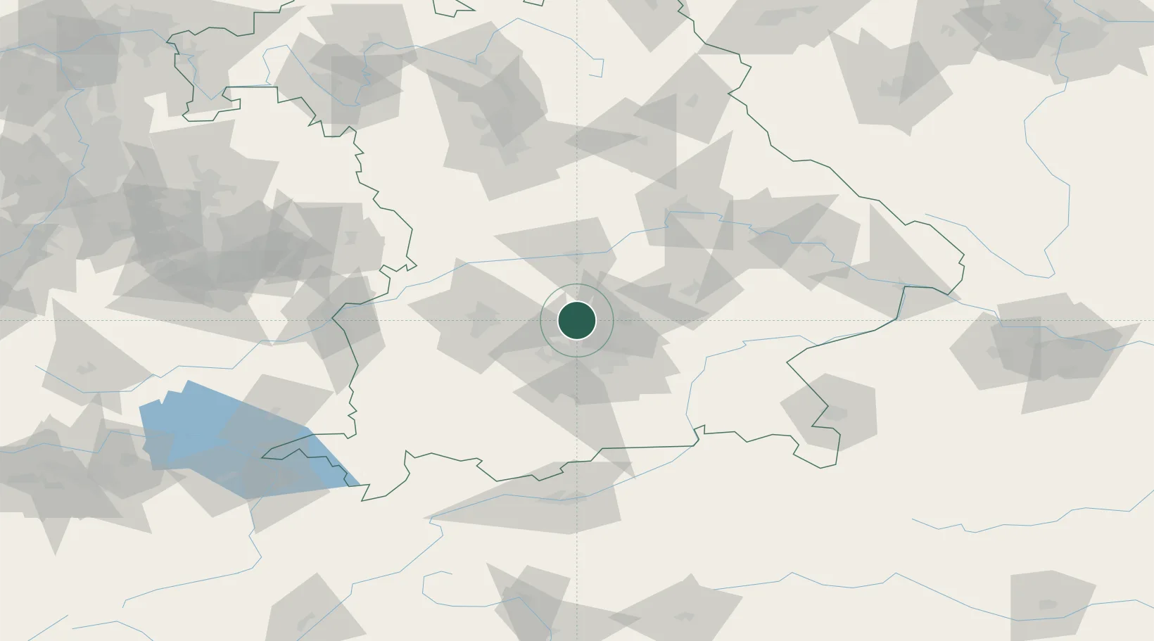
Nearby Logistics Neighbours

Cities
  1. 1Petershausen4 km
  2. 2Röhrmoos4 km
  3. 3Hohenkammer7 km
  4. 4Hebertshausen9 km
  5. 5Hilgertshausen-Tandern11 km
Nearest neighbours — logibook spatial index (haversine) over the source coordinates
Ports
  1. 1Nogaro317 km
  2. 2Grado328 km
  3. 3Monfalcone328 km
  4. 4Porto Di Lido-Venezia336 km
  5. 5Trieste348 km
Nearest neighbours — logibook spatial index (haversine) over the source coordinates
Airports
  1. 1Altstetten Ultralight Field15 km
  2. 2Munich Airport24 km
  3. 3Oberpfaffenhofen Airport35 km
  4. 4Ingolstadt Manching Airport39 km
  5. 5Augsburg Airport40 km
Nearest neighbours — logibook spatial index (haversine) over the source coordinates
Trade Zones
  1. 1Freeport of Deggendorf118 km
  2. 2Livigno Free Trade Zone228 km
  3. 3Podbořany Industrial Zone250 km
  4. 4Žatec - Triangle Strategic Industrial Zone270 km
  5. 5ZFU Neuhof274 km
Nearest neighbours — logibook spatial index (haversine) over the source coordinates
DatabookThe Record of Consolidated Knowledge
Germany beyond logistics?
Browse databook

All Sources

LocationsUN/LOCODE
UN/LOCODE — free
LocationsGeoNames
CC BY 4.0
Portsthe NGA World Port Index
Public domain (US gov)
AirportsOurAirports
Public domain
Trade Zonesthe World Bank SEZ database
CC BY 4.0
Trade ZonesOpen Zone Map
CC BY
← Germany locations