Transport Functions
Port
Road
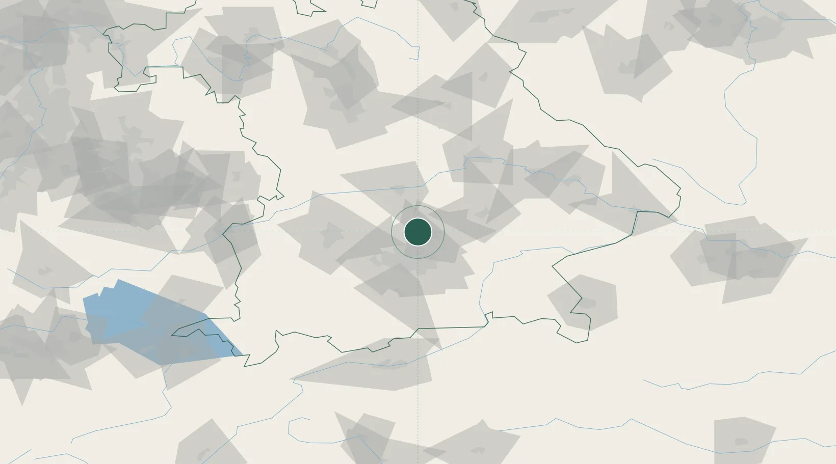
Hub Profile
Place type
Local administrative seat
Region
Bavaria
Time zone
Europe/Berlin
Elevation
450 m
Location
Nearby Logistics Neighbours
Cities
- 1Massenhausen6 km
- 2Hohenkammer6 km
- 3Kirchdorf an der Amper8 km
- 4Durneck8 km
- 5Neufahrn bei Freising10 km
Ports
- 1Nogaro316 km
- 2Monfalcone326 km
- 3Grado326 km
- 4Porto Di Lido-Venezia338 km
- 5Trieste346 km
Airports
- 1Munich Airport14 km
- 2Altstetten Ultralight Field27 km
- 3Landshut Airfield33 km
- 4Ingolstadt Manching Airport36 km
- 5Oberpfaffenhofen Airport43 km
Trade Zones
DatabookThe Record of Consolidated Knowledge
Germany beyond logistics?