UN/LOCODE hub · Germany
DEKFR

Kirchdorf an der Amper

48.4667°, 11.6500°
1
Transport functions

Transport Functions

Multimodal
UN/LOCODE

Hub Profile

Region
BY
GeoNames

Location

Location of DEKFR
Natural Earth 10m (public domain) · BY · DEKFR · 48.47, 11.65GoogleOSMYandex

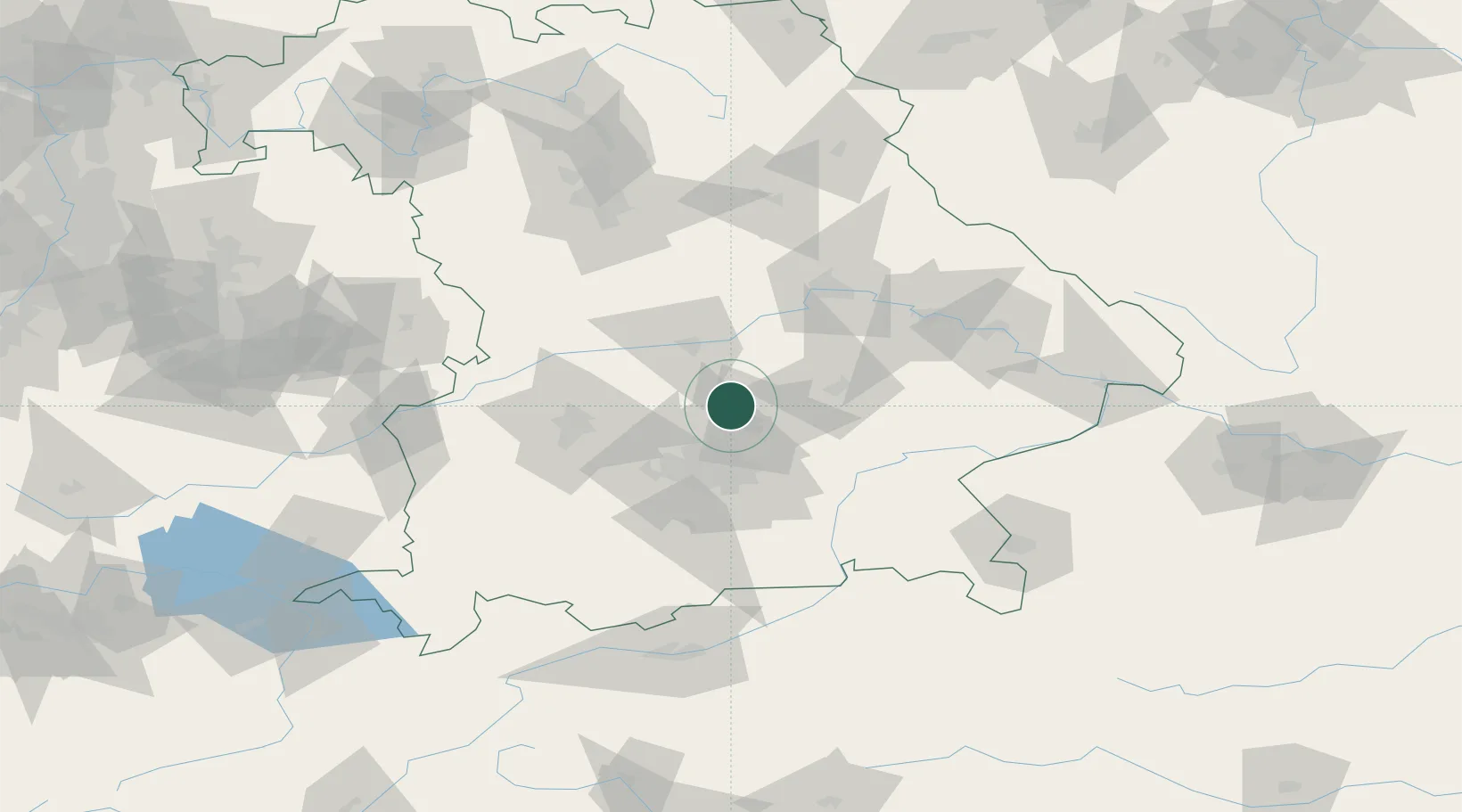
Nearby Logistics Neighbours

Cities
  1. 1Kranzberg8 km
  2. 2Geisenhausen10 km
  3. 3Hohenkammer10 km
  4. 4Durneck12 km
  5. 5Massenhausen13 km
Nearest neighbours — logibook spatial index (haversine) over the source coordinates
Ports
  1. 1Nogaro322 km
  2. 2Monfalcone331 km
  3. 3Grado332 km
  4. 4Porto Di Lido-Venezia344 km
  5. 5Trieste351 km
Nearest neighbours — logibook spatial index (haversine) over the source coordinates
Airports
  1. 1Munich Airport16 km
  2. 2Landshut Airfield29 km
  3. 3Ingolstadt Manching Airport29 km
  4. 4Altstetten Ultralight Field32 km
  5. 5Neuburg Air Base42 km
Nearest neighbours — logibook spatial index (haversine) over the source coordinates
Trade Zones
  1. 1Freeport of Deggendorf101 km
  2. 2Podbořany Industrial Zone233 km
  3. 3Livigno Free Trade Zone245 km
  4. 4Žatec - Triangle Strategic Industrial Zone254 km
  5. 5Most - Joseph Industrial Zone267 km
Nearest neighbours — logibook spatial index (haversine) over the source coordinates
DatabookThe Record of Consolidated Knowledge
Germany beyond logistics?
Browse databook

All Sources

LocationsUN/LOCODE
UN/LOCODE — free
Portsthe NGA World Port Index
Public domain (US gov)
AirportsOurAirports
Public domain
Trade Zonesthe World Bank SEZ database
CC BY 4.0
Trade ZonesOpen Zone Map
CC BY
← Germany locations