Medium airport · Germany
Ingolstadt Manching AirportETSI
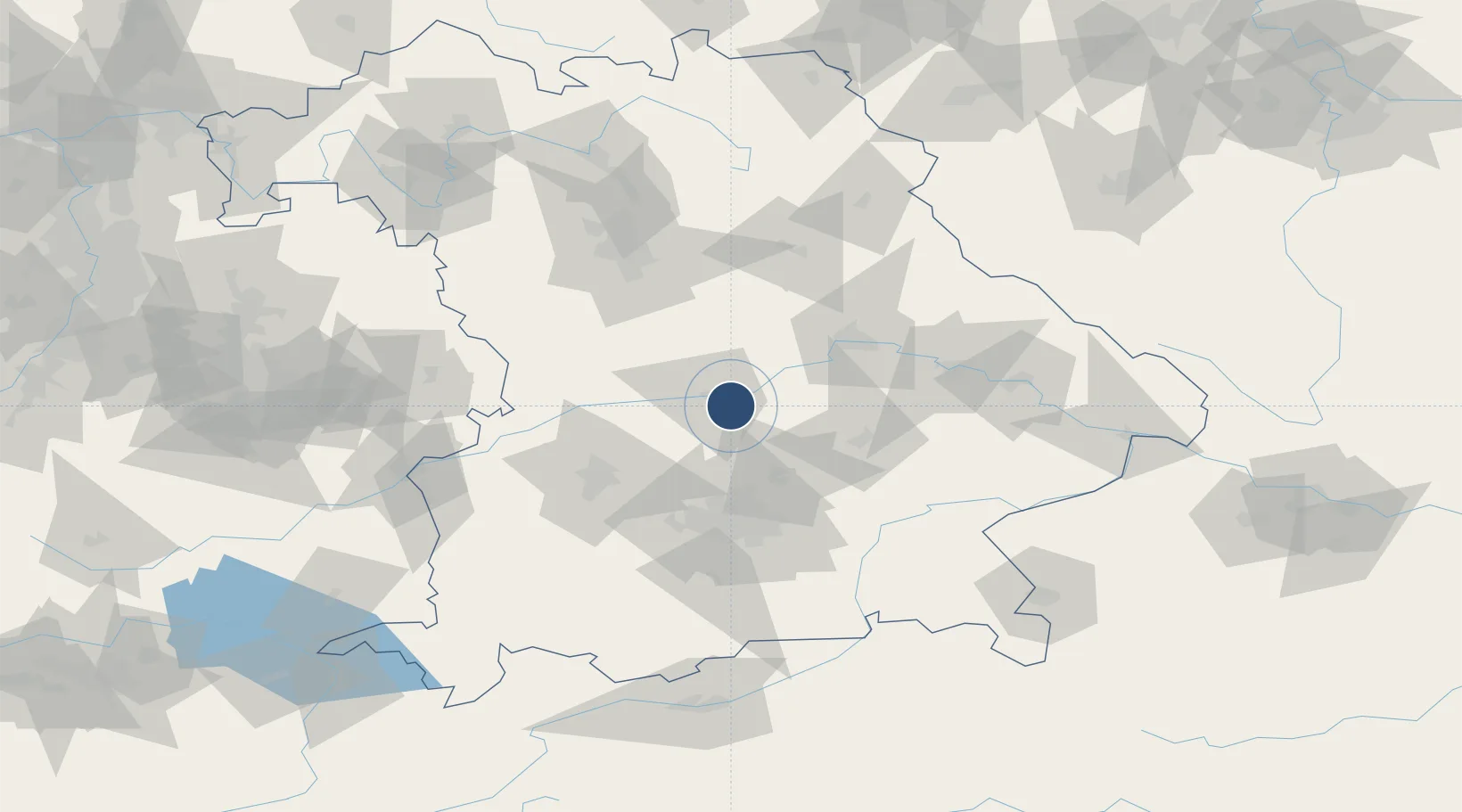
48.7157°, 11.5340°
9,646 ft
Longest runway
2
Runways
1,202 ft
Elevation
Runway & Layout

Radio Frequencies
ATIS
118.865 MHz
Ingo ATIS
TWR
122.1 MHz
Ingo Tower / Turm
TWR
125.255 MHz
Ingo Tower / Turm
AFIS
120.65 MHz
Langen Information
RADAR
120.605 MHz
Ingo Radar
RADAR
123.3 MHz
Ingo Radar O/R
RADAR
125.58 MHz
Ingo Radar
VOLMET
135.78 MHz
Frankfurt 2 VOLMET
Navaids
IGL TACAN Ingolstadt 111.40 MHz
IGL NDB Ingolstadt 345 kHz
Runways · 2
| Runway | Dimensions | Surface | True heading | Lit |
|---|---|---|---|---|
| 06R/24L | 9,646 × 197ft | Asphalt / concrete | 068° | ✓ |
| 06L/24R | 8,002 × 98ft | Concrete | 068° | ✓ |
Airport Specifications
IATA code
IGS
ICAO code
ETSI
Airport class
Medium airport
Scheduled service
No
Runway surface
Asphalt / concrete
Served city
Manching
Location
Nearby Logistics Neighbours
Airports
- 1Neuburg Air Base24 km
- 2Landshut Airfield43 km
- 3Munich Airport44 km
- 4Altstetten Ultralight Field49 km
- 5Augsburg Airport55 km
Cities
- 1Ernsgaden2 km
- 2Manching3 km
- 3Geisenfeld7 km
- 4Baar-Ebenhausen7 km
- 5Vohburg an der Donau8 km
Ports
- 1Nogaro351 km
- 2Monfalcone360 km
- 3Grado361 km
- 4Porto Di Lido-Venezia373 km
- 5Trieste380 km
Trade Zones
DatabookThe Record of Consolidated Knowledge
Germany beyond logistics?