Transport Functions
Road
Multimodal
Hub Profile
Place type
Local administrative seat
Region
Bavaria
Population
6,199
Time zone
Europe/Berlin
Elevation
494 m
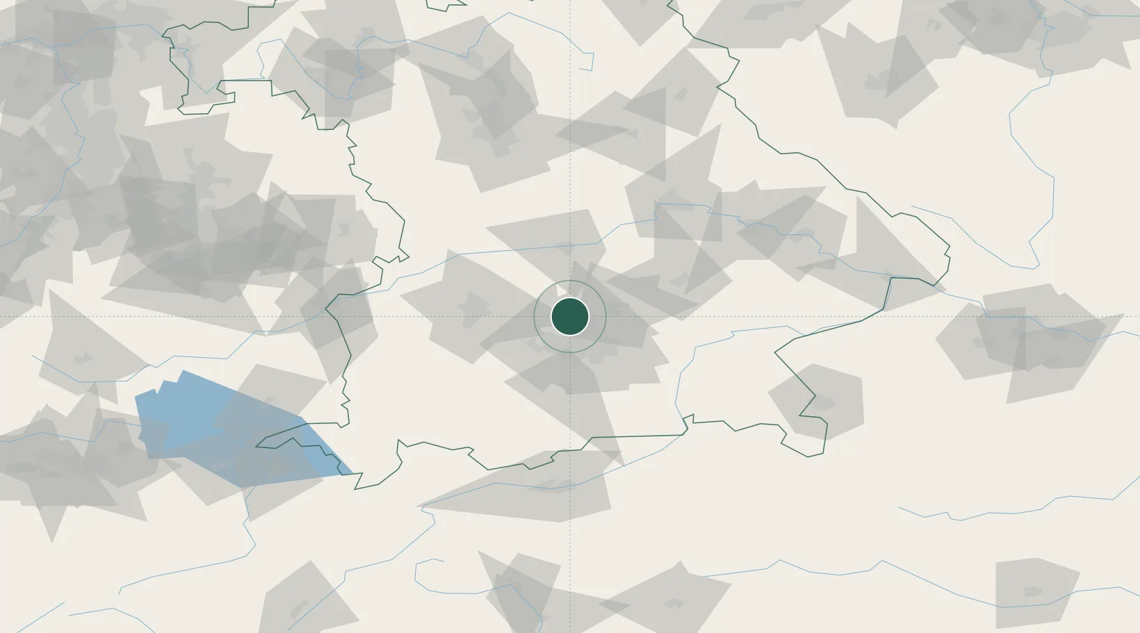
Location
Nearby Logistics Neighbours
Cities
- 1Vierkirchen4 km
- 2Hebertshausen6 km
- 3Petershausen8 km
- 4Hollern9 km
- 5Hohenkammer10 km
Ports
- 1Nogaro313 km
- 2Grado324 km
- 3Monfalcone324 km
- 4Porto Di Lido-Venezia332 km
- 5Trieste344 km
Airports
- 1Altstetten Ultralight Field15 km
- 2Munich Airport23 km
- 3Oberpfaffenhofen Airport32 km
- 4Augsburg Airport42 km
- 5Ingolstadt Manching Airport43 km
Trade Zones
- 1Freeport of Deggendorf119 km
- 2Livigno Free Trade Zone226 km
- 3Podbořany Industrial Zone253 km
- 4Žatec - Triangle Strategic Industrial Zone273 km
- 5ZFU Neuhof275 km
DatabookThe Record of Consolidated Knowledge
Germany beyond logistics?