Runway & Layout

Airport Specifications
Airport class
Small airport
Scheduled service
Yes
Served city
Altstetten
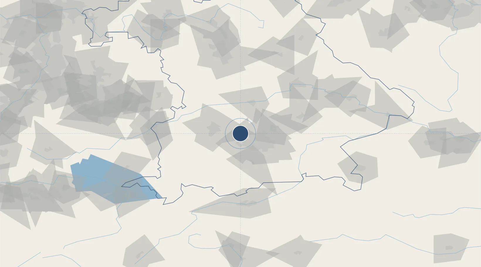
Location
Nearby Logistics Neighbours
Airports
- 1Oberpfaffenhofen Airport25 km
- 2Augsburg Airport29 km
- 3Lechfeld Air Base34 km
- 4Munich Airport37 km
- 5Neuburg Air Base45 km
Cities
- 1Wiedenzhausen5 km
- 2Odelzhausen7 km
- 3Altomünster9 km
- 4Gröbenzell13 km
- 5Hebertshausen14 km
Ports
- 1Nogaro317 km
- 2Grado328 km
- 3Monfalcone329 km
- 4Porto Di Lido-Venezia333 km
- 5Trieste349 km
Trade Zones
- 1Freeport of Deggendorf133 km
- 2Livigno Free Trade Zone217 km
- 3ZFU Neuhof261 km
- 4Podbořany Industrial Zone263 km
- 5ZFU Hautepierre267 km
DatabookThe Record of Consolidated Knowledge
Germany beyond logistics?