Large airport · Germany
Munich AirportEDDM
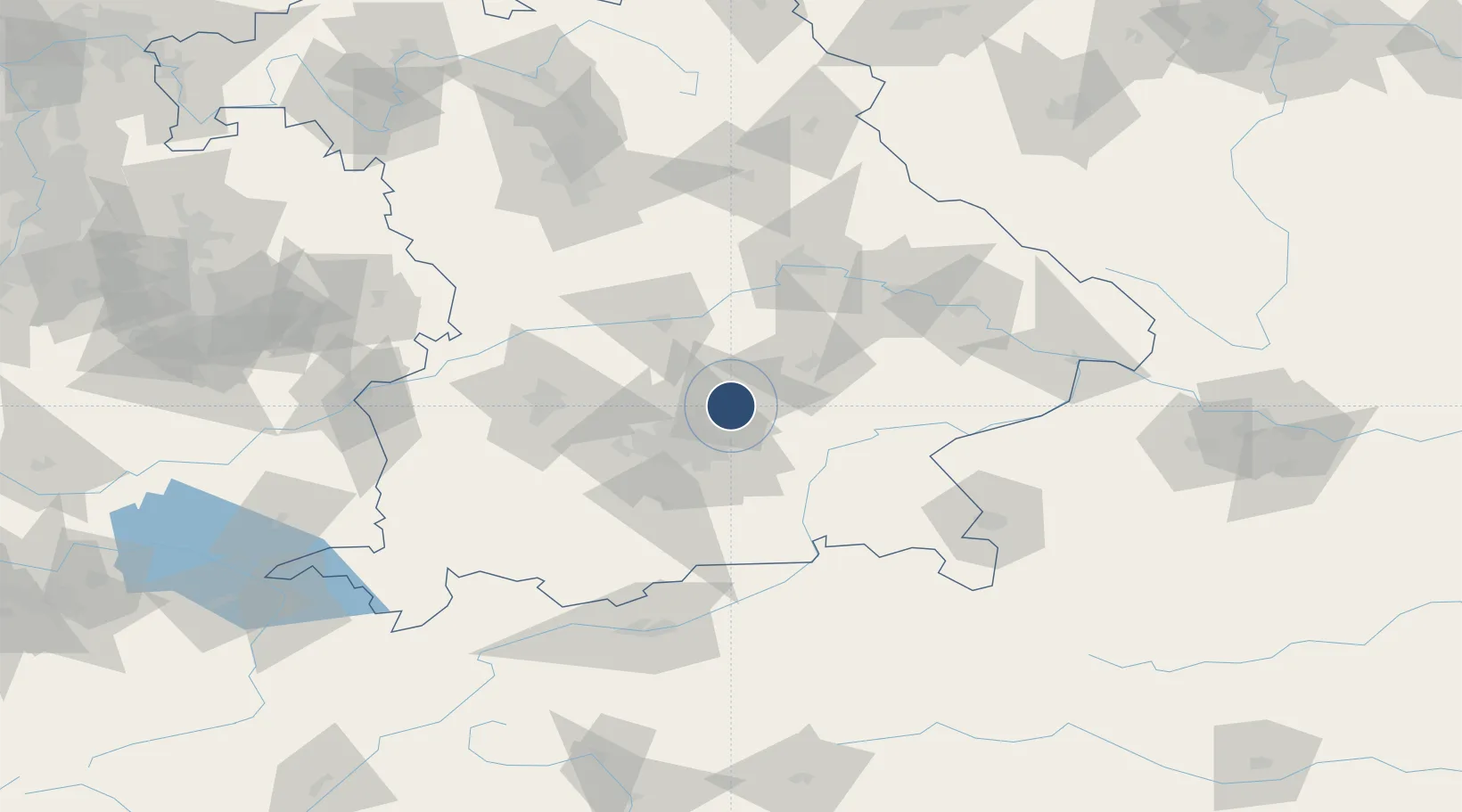
48.3538°, 11.7861°
13,123 ft
Longest runway
2
Runways
1,487 ft
Elevation
Runway & Layout

Radio Frequencies
ATIS
123.13 MHz
Muenchen ATIS
TWR
118.705 MHz
Muenchen Tower North / Turm Nord
TWR
119.405 MHz
Muenchen Tower / Turm
TWR
120.505 MHz
Muenchen Tower South / Turm Süd
GND
121.83 MHz
Muenchen Ground / Rollkontrolle
GND
121.98 MHz
Muenchen Ground / Rollkontrolle
CLD
121.73 MHz
Muenchen Delivery
ACC
123.9 MHz
RADAR
AFIS
120.65 MHz
Langen Information
AFIS
126.95 MHz
Langen Information
ARR
120.775 MHz
DIR
118.825 MHz
DIRECTOR
RDR
131.225 MHz
LCL RADAR
RMP
121.71 MHz
Muenchen Apron 2 / Vorfeld 2
RMP
121.78 MHz
Muenchen Apron 1 / Vorfeld 1
RMP
121.93 MHz
Muenchen Apron 3 / Vorfeld 3
VOLMET
135.78 MHz
Frankfurt 2 VOLMET
Navaids
DMN DME Munchen 116.00 MHz
DMS DME Munchen 108.60 MHz
MNE NDB Munchen 369 kHz
MNW NDB Munchen 338 kHz
MSE NDB Munchen 358 kHz
MSW NDB Munchen 400 kHz
MUN VOR-DME Munchen 112.30 MHz
Runways · 2
| Runway | Dimensions | Surface | True heading | Lit |
|---|---|---|---|---|
| 08L/26R | 13,123 × 197ft | Concrete | 083° | ✓ |
| 08R/26L | 13,123 × 197ft | Concrete | 083° | ✓ |
Airport Specifications
IATA code
MUC
ICAO code
EDDM
Airport class
Large airport
Scheduled service
Yes
Runway surface
Concrete
Served city
Munich
Location
Nearby Logistics Neighbours
Airports
- 1Landshut Airfield25 km
- 2Altstetten Ultralight Field37 km
- 3Ingolstadt Manching Airport44 km
- 4Oberpfaffenhofen Airport48 km
- 5Neuburg Air Base58 km
Cities
- 1Durneck5 km
- 2Oberding6 km
- 3Neufahrn bei Freising10 km
- 4Moosinning10 km
- 5Langenbach10 km
Ports
- 1Nogaro307 km
- 2Monfalcone316 km
- 3Grado317 km
- 4Porto Di Lido-Venezia330 km
- 5Trieste335 km
Trade Zones
DatabookThe Record of Consolidated Knowledge
Germany beyond logistics?