Medium airport · Germany

Landshut AirfieldEDML
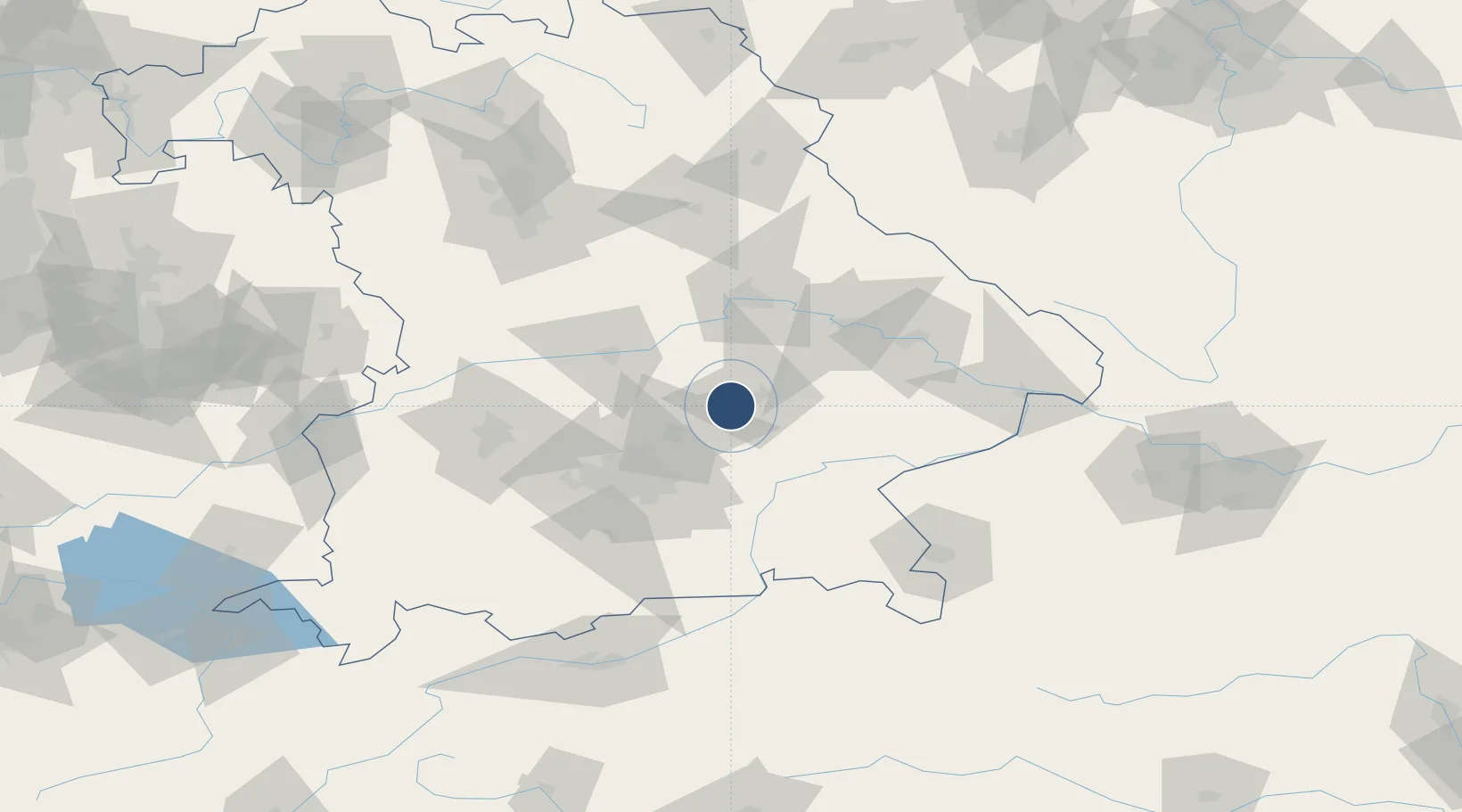
48.5120°, 12.0349°
2,953 ft
Longest runway
1
Runways
1,312 ft
Elevation

Runway & Layout

Landshut Airfield runway & taxiway layout
Runway & taxiway layout — OpenStreetMap (ODbL) / OurAirports

Radio Frequencies

AFIS
120.65 MHz
Langen Information
INFO
129.805 MHz
Landshut Radio
OurAirports

Runways · 1

RunwayDimensions SurfaceTrue headingLit
06/24 2,953 × 75ft Asphalt
OurAirports

Airport Specifications

IATA code
QLG
OurAirports
ICAO code
EDML
OurAirports
Airport class
Medium airport
OurAirports
Scheduled service
No
OurAirports
Runway surface
Asphalt
OurAirports
Served city
Landshut
OurAirports

Location

Location of EDML
Natural Earth 10m (public domain) · Bayern · EDML · 48.51, 12.03GoogleOSMYandex

Nearby Logistics Neighbours

Airports
  1. 1Munich Airport25 km
  2. 2Ingolstadt Manching Airport43 km
  3. 3Altstetten Ultralight Field60 km
  4. 4Neuburg Air Base64 km
  5. 5Oberpfaffenhofen Airport73 km
Nearest neighbours — logibook spatial index (haversine) over the source coordinates
Cities
  1. 1Eching/Landshut2 km
  2. 2Tiefenbach (Bei Landshut)5 km
  3. 3Gammelsdorf8 km
  4. 4Mauern10 km
  5. 5Munchsdorf11 km
Nearest neighbours — logibook spatial index (haversine) over the source coordinates
Ports
  1. 1Nogaro318 km
  2. 2Monfalcone324 km
  3. 3Grado327 km
  4. 4Trieste344 km
  5. 5Porto Di Lido-Venezia346 km
Nearest neighbours — logibook spatial index (haversine) over the source coordinates
Trade Zones
  1. 1Freeport of Deggendorf74 km
  2. 2Podbořany Industrial Zone215 km
  3. 3Žatec - Triangle Strategic Industrial Zone235 km
  4. 4Most - Joseph Industrial Zone248 km
  5. 5Livigno Free Trade Zone264 km
Nearest neighbours — logibook spatial index (haversine) over the source coordinates
DatabookThe Record of Consolidated Knowledge
Germany beyond logistics?
Browse databook

All Sources

AirportsOurAirports
Public domain
Portsthe NGA World Port Index
Public domain (US gov)
LocationsUN/LOCODE
UN/LOCODE — free
Trade Zonesthe World Bank SEZ database
CC BY 4.0
Trade ZonesOpen Zone Map
CC BY
InfrastructureOpenStreetMap
ODbL 1.0
← Germany airports