Transport Functions
Rail
Road
Hub Profile
Place type
Local administrative seat
Region
Bavaria
Population
5,965
Time zone
Europe/Berlin
Elevation
463 m
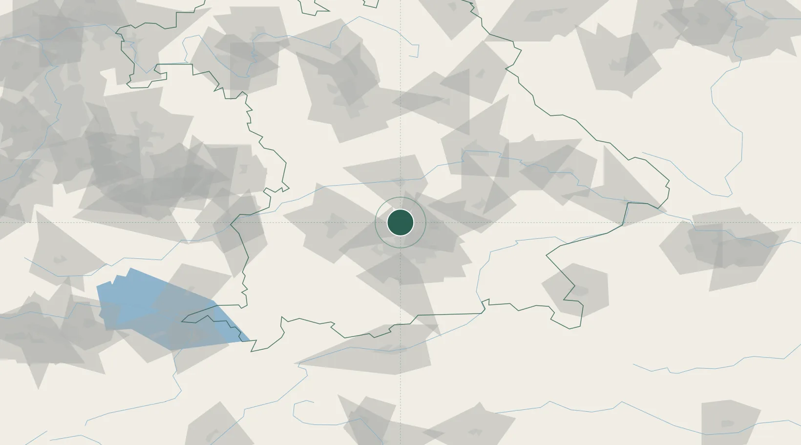
Location
Nearby Logistics Neighbours
Cities
- 1Vierkirchen4 km
- 2Hohenkammer5 km
- 3Röhrmoos8 km
- 4Hilgertshausen-Tandern9 km
- 5Kranzberg11 km
Ports
- 1Nogaro321 km
- 2Monfalcone331 km
- 3Grado331 km
- 4Porto Di Lido-Venezia340 km
- 5Trieste351 km
Airports
- 1Altstetten Ultralight Field17 km
- 2Munich Airport24 km
- 3Ingolstadt Manching Airport36 km
- 4Oberpfaffenhofen Airport38 km
- 5Neuburg Air Base39 km
Trade Zones
- 1Freeport of Deggendorf117 km
- 2Livigno Free Trade Zone232 km
- 3Podbořany Industrial Zone247 km
- 4Žatec - Triangle Strategic Industrial Zone267 km
- 5ZFU Neuhof273 km
DatabookThe Record of Consolidated Knowledge
Germany beyond logistics?