Transport Functions
Multimodal
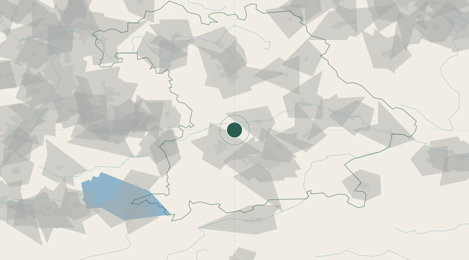
Hub Profile
Place type
Local administrative seat
Region
Bavaria
Population
3,782
Time zone
Europe/Berlin
Elevation
417 m
Location
Nearby Logistics Neighbours
Cities
- 1Pöttmes6 km
- 2Oberhausen9 km
- 3Burgheim10 km
- 4Unterbernbach12 km
- 5Inchenhofen13 km
Ports
- 1Nogaro356 km
- 2Grado366 km
- 3Monfalcone367 km
- 4Porto Di Lido-Venezia372 km
- 5Trieste387 km
Airports
- 1Neuburg Air Base12 km
- 2Augsburg Airport26 km
- 3Ingolstadt Manching Airport33 km
- 4Altstetten Ultralight Field39 km
- 5Lechfeld Air Base53 km
Trade Zones
- 1Freeport of Deggendorf134 km
- 2Podbořany Industrial Zone243 km
- 3Livigno Free Trade Zone245 km
- 4ZFU Neuhof246 km
- 5ZFU Hautepierre251 km
DatabookThe Record of Consolidated Knowledge
Germany beyond logistics?