Medium airport · Germany
Augsburg AirportEDMA
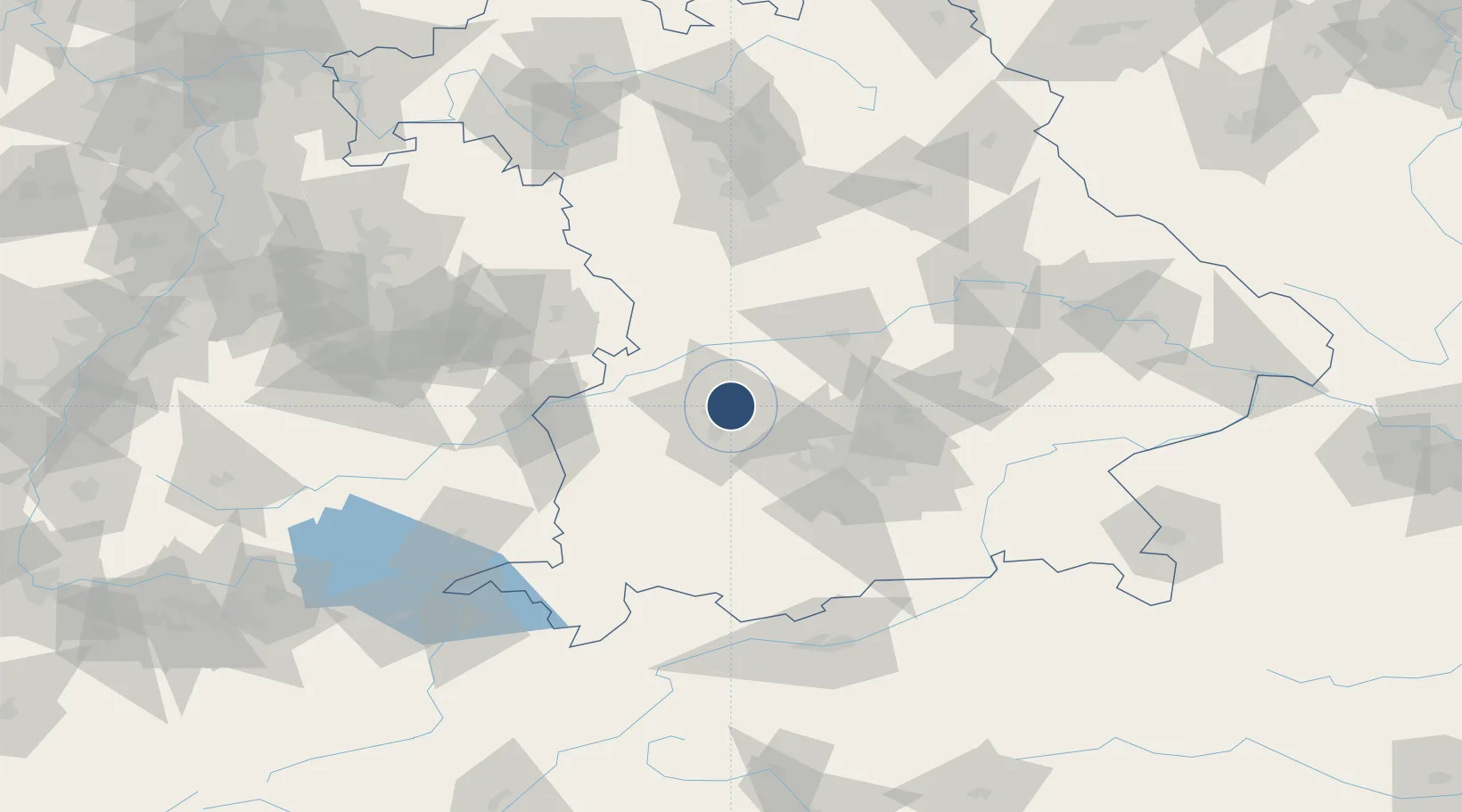
48.4253°, 10.9317°
5,230 ft
Longest runway
2
Runways
1,516 ft
Elevation
Runway & Layout

Radio Frequencies
ATIS
119.665 MHz
TWR
124.98 MHz
Augsburg Tower / Augsburg Turm
AFIS
120.65 MHz
LANGEN INFORMATION
RDR
128.25 MHz
MUNCHEN RADAR
VDF
124.98 MHz
Augsburg Tower / Augsburg Turm
Navaids
AGB NDB Augsburg 318 kHz
AUG DME Augsburg 115.90 MHz
Runways · 2
| Runway | Dimensions | Surface | True heading | Lit |
|---|---|---|---|---|
| 07/25 | 5,230 × 98ft | Asphalt | 071° | ✓ |
| 07R/25L | 3,325 × 100ft | Grass | 072° | — |
Airport Specifications
IATA code
AGB
ICAO code
EDMA
Airport class
Medium airport
Scheduled service
No
Runway surface
Asphalt
Served city
Augsburg
Location
Nearby Logistics Neighbours
Airports
- 1Lechfeld Air Base27 km
- 2Altstetten Ultralight Field29 km
- 3Neuburg Air Base38 km
- 4Oberpfaffenhofen Airport46 km
- 5Ingolstadt Manching Airport55 km
Ports
- 1Nogaro341 km
- 2Grado352 km
- 3Porto Di Lido-Venezia353 km
- 4Monfalcone354 km
- 5Porto Di Chioggia370 km
Trade Zones
- 1Freeport of Deggendorf152 km
- 2Livigno Free Trade Zone220 km
- 3ZFU Neuhof234 km
- 4ZFU Hautepierre239 km
- 5Podbořany Industrial Zone269 km
DatabookThe Record of Consolidated Knowledge
Germany beyond logistics?