Transport Functions
Multimodal
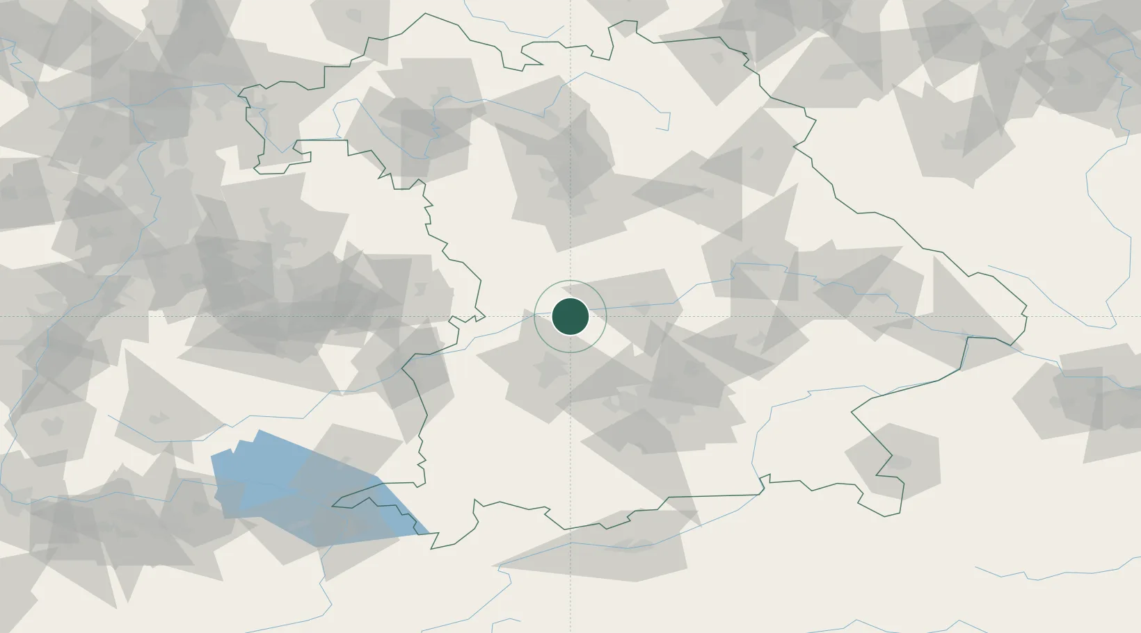
Hub Profile
Place type
Populated place
Region
Bavaria
Population
4,616
Time zone
Europe/Berlin
Elevation
400 m
Location
Nearby Logistics Neighbours
Cities
- 1Rennertshofen, Neuburg-Schrobenhausen6 km
- 2Oberhausen8 km
- 3Ehekirchen10 km
- 4Genderkingen10 km
- 5Tagmersheim14 km
Ports
- 1Nogaro365 km
- 2Grado376 km
- 3Monfalcone377 km
- 4Porto Di Lido-Venezia381 km
- 5Trieste397 km
Airports
- 1Neuburg Air Base14 km
- 2Augsburg Airport31 km
- 3Ingolstadt Manching Airport38 km
- 4Altstetten Ultralight Field48 km
- 5Lechfeld Air Base58 km
Trade Zones
- 1Freeport of Deggendorf139 km
- 2ZFU Neuhof240 km
- 3Podbořany Industrial Zone242 km
- 4ZFU Hautepierre245 km
- 5Livigno Free Trade Zone251 km
DatabookThe Record of Consolidated Knowledge
Germany beyond logistics?