Transport Functions
Rail
Road
Hub Profile
Place type
Populated place
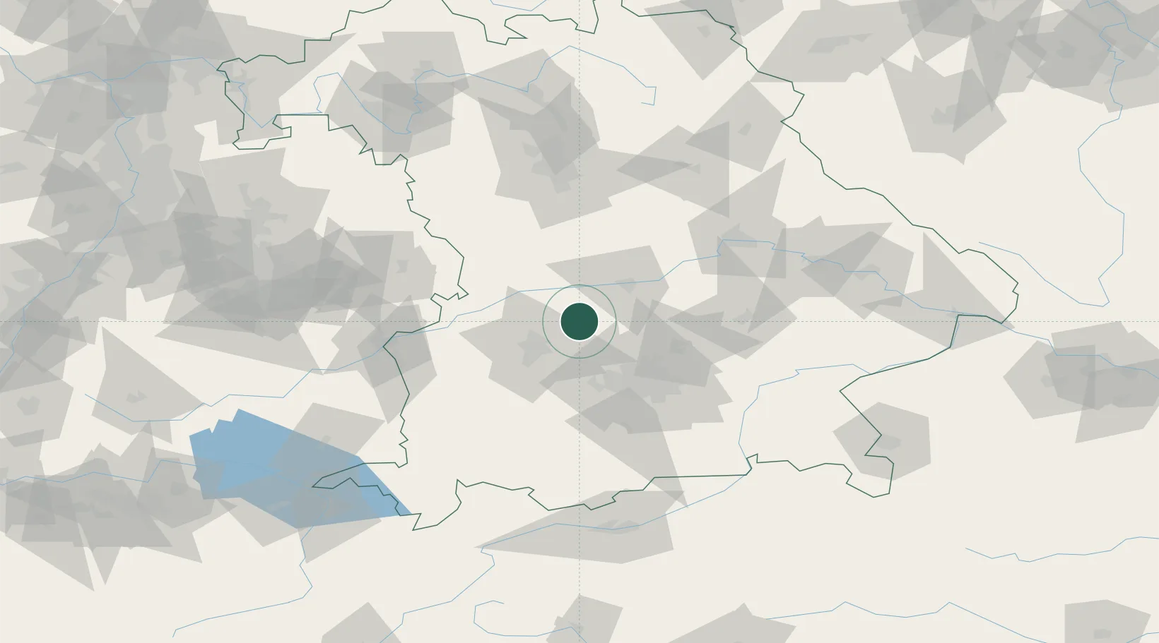
Region
Bavaria
Time zone
Europe/Berlin
Elevation
430 m
Location
Nearby Logistics Neighbours
Cities
- 1Inchenhofen4 km
- 2Pöttmes7 km
- 3Algertshausen8 km
- 4Hollenbach9 km
- 5Ehekirchen12 km
Ports
- 1Nogaro344 km
- 2Grado354 km
- 3Monfalcone355 km
- 4Porto Di Lido-Venezia360 km
- 5Trieste375 km
Airports
- 1Neuburg Air Base20 km
- 2Augsburg Airport21 km
- 3Altstetten Ultralight Field27 km
- 4Ingolstadt Manching Airport34 km
- 5Lechfeld Air Base45 km
Trade Zones
- 1Freeport of Deggendorf132 km
- 2Livigno Free Trade Zone237 km
- 3Podbořany Industrial Zone249 km
- 4ZFU Neuhof251 km
- 5ZFU Hautepierre256 km
DatabookThe Record of Consolidated Knowledge
Germany beyond logistics?