Transport Functions
Multimodal
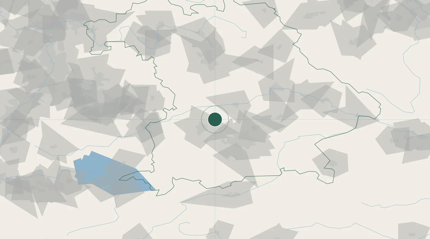
Hub Profile
Place type
Populated place
Region
Bavaria
Population
2,390
Time zone
Europe/Berlin
Elevation
461 m
Location
Nearby Logistics Neighbours
Cities
- 1Unterbernbach4 km
- 2Hollenbach5 km
- 3Algertshausen6 km
- 4Pöttmes8 km
- 5Affing11 km
Ports
- 1Nogaro344 km
- 2Grado354 km
- 3Monfalcone355 km
- 4Porto Di Lido-Venezia359 km
- 5Trieste376 km
Airports
- 1Augsburg Airport17 km
- 2Neuburg Air Base23 km
- 3Altstetten Ultralight Field27 km
- 4Ingolstadt Manching Airport38 km
- 5Lechfeld Air Base41 km
Trade Zones
- 1Freeport of Deggendorf136 km
- 2Livigno Free Trade Zone234 km
- 3ZFU Neuhof247 km
- 4ZFU Hautepierre252 km
- 5Podbořany Industrial Zone252 km
DatabookThe Record of Consolidated Knowledge
Germany beyond logistics?