Transport Functions
Rail
Road
Hub Profile
Place type
Local administrative seat
Region
Bavaria
Population
2,558
Time zone
Europe/Berlin
Elevation
421 m
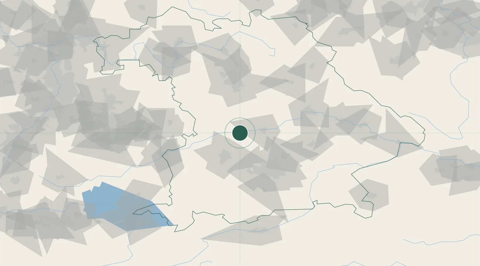
Location
Nearby Logistics Neighbours
Cities
- 1Rennertshofen, Neuburg-Schrobenhausen6 km
- 2Burgheim8 km
- 3Ehekirchen9 km
- 4Karlshuld14 km
- 5Weichering15 km
Ports
- 1Nogaro364 km
- 2Grado374 km
- 3Monfalcone374 km
- 4Porto Di Lido-Venezia380 km
- 5Trieste395 km
Airports
- 1Neuburg Air Base7 km
- 2Ingolstadt Manching Airport31 km
- 3Augsburg Airport35 km
- 4Altstetten Ultralight Field47 km
- 5Lechfeld Air Base62 km
Trade Zones
- 1Freeport of Deggendorf132 km
- 2Podbořany Industrial Zone236 km
- 3ZFU Neuhof247 km
- 4ZFU Hautepierre252 km
- 5Livigno Free Trade Zone255 km
DatabookThe Record of Consolidated Knowledge
Germany beyond logistics?