Transport Functions
Road
Multimodal
Hub Profile
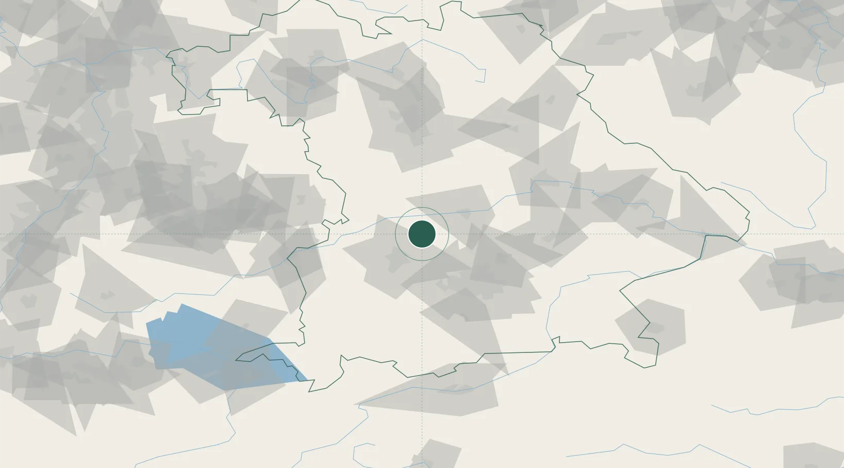
Place type
Populated place
Region
Bavaria
Population
6,315
Time zone
Europe/Berlin
Elevation
408 m
Location
Nearby Logistics Neighbours
Cities
- 1Ehekirchen6 km
- 2Unterbernbach7 km
- 3Inchenhofen8 km
- 4Hollenbach11 km
- 5Algertshausen13 km
Ports
- 1Nogaro351 km
- 2Grado361 km
- 3Monfalcone362 km
- 4Porto Di Lido-Venezia366 km
- 5Trieste383 km
Airports
- 1Neuburg Air Base16 km
- 2Augsburg Airport22 km
- 3Altstetten Ultralight Field34 km
- 4Ingolstadt Manching Airport35 km
- 5Lechfeld Air Base48 km
Trade Zones
- 1Freeport of Deggendorf136 km
- 2Livigno Free Trade Zone240 km
- 3ZFU Neuhof246 km
- 4Podbořany Industrial Zone247 km
- 5ZFU Hautepierre251 km
DatabookThe Record of Consolidated Knowledge
Germany beyond logistics?