UN/LOCODE hub · Germany
DEZMU

Salzmünde

51.5333°, 11.8333°
2
Transport functions

Transport Functions

Port
Road
UN/LOCODE

Hub Profile

Region
ST
GeoNames

Location

Location of DEZMU
Natural Earth 10m (public domain) · ST · DEZMU · 51.53, 11.83GoogleOSMYandex

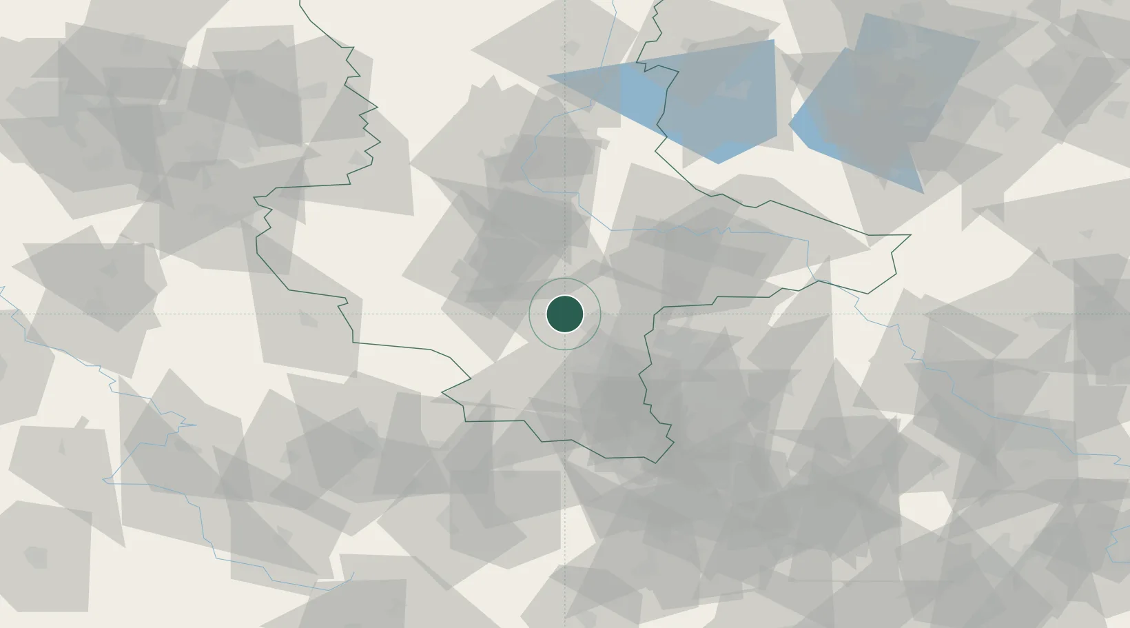
Nearby Logistics Neighbours

Cities
  1. 1Brachwitz2 km
  2. 2Halle8 km
  3. 3Teutschenthal10 km
  4. 4Amsdorf10 km
  5. 5Oppin14 km
Nearest neighbours — logibook spatial index (haversine) over the source coordinates
Ports
  1. 1Hamburg258 km
  2. 2Wismar264 km
  3. 3Lubeck272 km
  4. 4Bremen274 km
  5. 5Lubeck-Travemunde278 km
Nearest neighbours — logibook spatial index (haversine) over the source coordinates
Airports
  1. 1Leipzig/Halle Airport30 km
  2. 2Zerbst Airfield56 km
  3. 3Leipzig–Altenburg Airport77 km
  4. 4Erfurt-Weimar Airport87 km
  5. 5Holzdorf Air Base96 km
Nearest neighbours — logibook spatial index (haversine) over the source coordinates
Trade Zones
  1. 1Most - Joseph Industrial Zone172 km
  2. 2Žatec - Triangle Strategic Industrial Zone173 km
  3. 3Podbořany Industrial Zone182 km
  4. 4Kostrzyń-Słubice SEZ225 km
  5. 5Freeport of Bremerhaven (Freihafen Bremerhaven)271 km
Nearest neighbours — logibook spatial index (haversine) over the source coordinates
DatabookThe Record of Consolidated Knowledge
Germany beyond logistics?
Browse databook

All Sources

LocationsUN/LOCODE
UN/LOCODE — free
Portsthe NGA World Port Index
Public domain (US gov)
AirportsOurAirports
Public domain
Trade Zonesthe World Bank SEZ database
CC BY 4.0
Trade ZonesOpen Zone Map
CC BY
← Germany locations