Transport Functions
Port
Road
Hub Profile
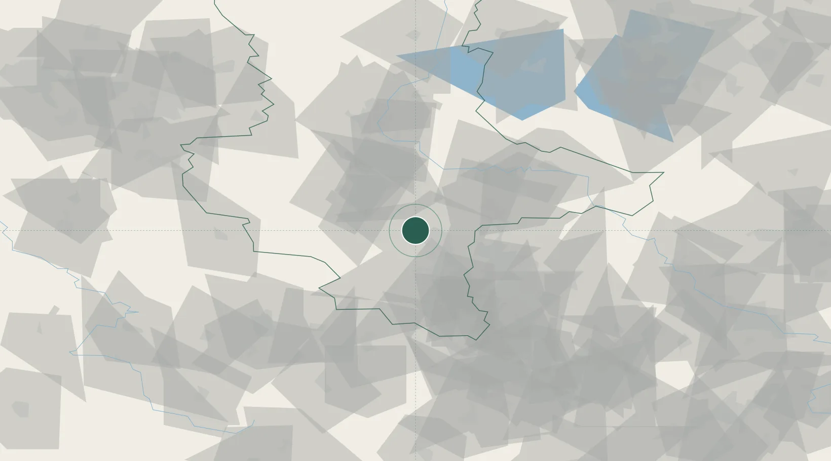
Place type
Populated place
Region
Saxony-Anhalt
Population
991
Time zone
Europe/Berlin
Elevation
80 m
Location
Nearby Logistics Neighbours
Cities
- 1Salzmünde2 km
- 2Halle5 km
- 3Teutschenthal10 km
- 4Oppin12 km
- 5Amsdorf12 km
Ports
- 1Hamburg260 km
- 2Wismar265 km
- 3Lubeck273 km
- 4Bremen276 km
- 5Lubeck-Travemunde279 km
Airports
- 1Leipzig/Halle Airport28 km
- 2Zerbst Airfield56 km
- 3Leipzig–Altenburg Airport76 km
- 4Erfurt-Weimar Airport88 km
- 5Holzdorf Air Base94 km
Trade Zones
DatabookThe Record of Consolidated Knowledge
Germany beyond logistics?