Transport Functions
Rail
Road
Hub Profile
Place type
Local administrative seat
Region
Lower Saxony
Population
1,779
Time zone
Europe/Berlin
Elevation
96 m
Logistics facilities
2
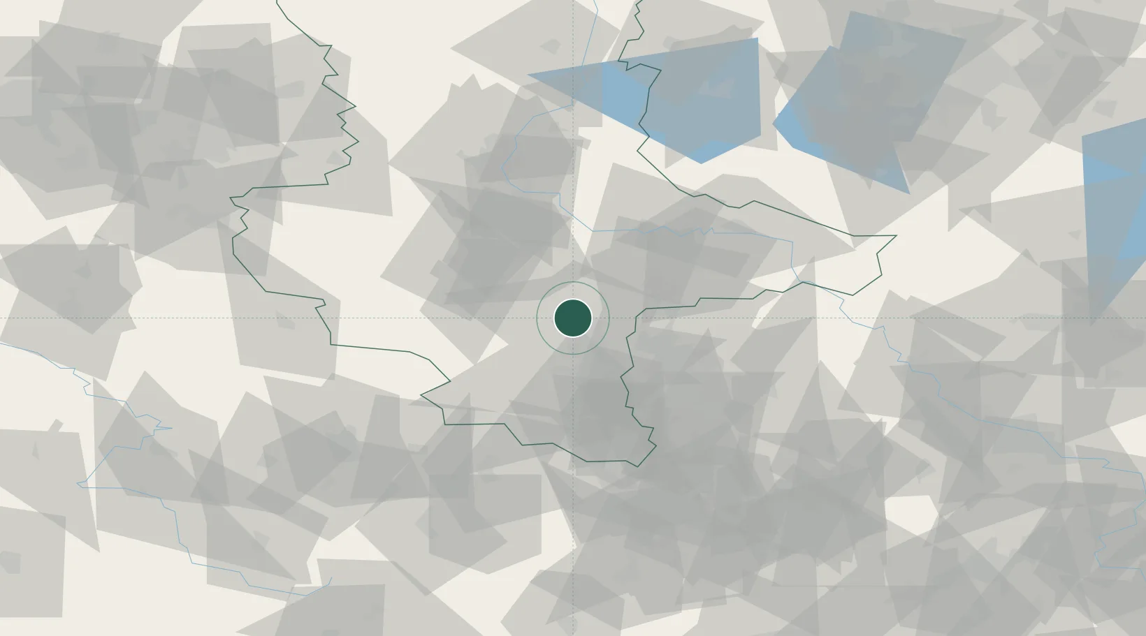
Location
Nearby Logistics Neighbours
Cities
- 1Brachwitz5 km
- 2Oppin7 km
- 3Salzmünde8 km
- 4Brachstedt9 km
- 5Dölbau11 km
Ports
- 1Hamburg263 km
- 2Wismar266 km
- 3Lubeck275 km
- 4Bremen280 km
- 5Lubeck-Travemunde281 km
Airports
- 1Leipzig/Halle Airport23 km
- 2Zerbst Airfield55 km
- 3Leipzig–Altenburg Airport72 km
- 4Holzdorf Air Base89 km
- 5Erfurt-Weimar Airport91 km
Trade Zones
- 1Most - Joseph Industrial Zone166 km
- 2Žatec - Triangle Strategic Industrial Zone168 km
- 3Podbořany Industrial Zone177 km
- 4Kostrzyń-Słubice SEZ220 km
- 5Szczecin Duty Free Zone276 km
DatabookThe Record of Consolidated Knowledge
Germany beyond logistics?