Transport Functions
Road
Multimodal
Hub Profile
Place type
Populated place
Region
Saxony-Anhalt
Population
1,563
Time zone
Europe/Berlin
Elevation
117 m
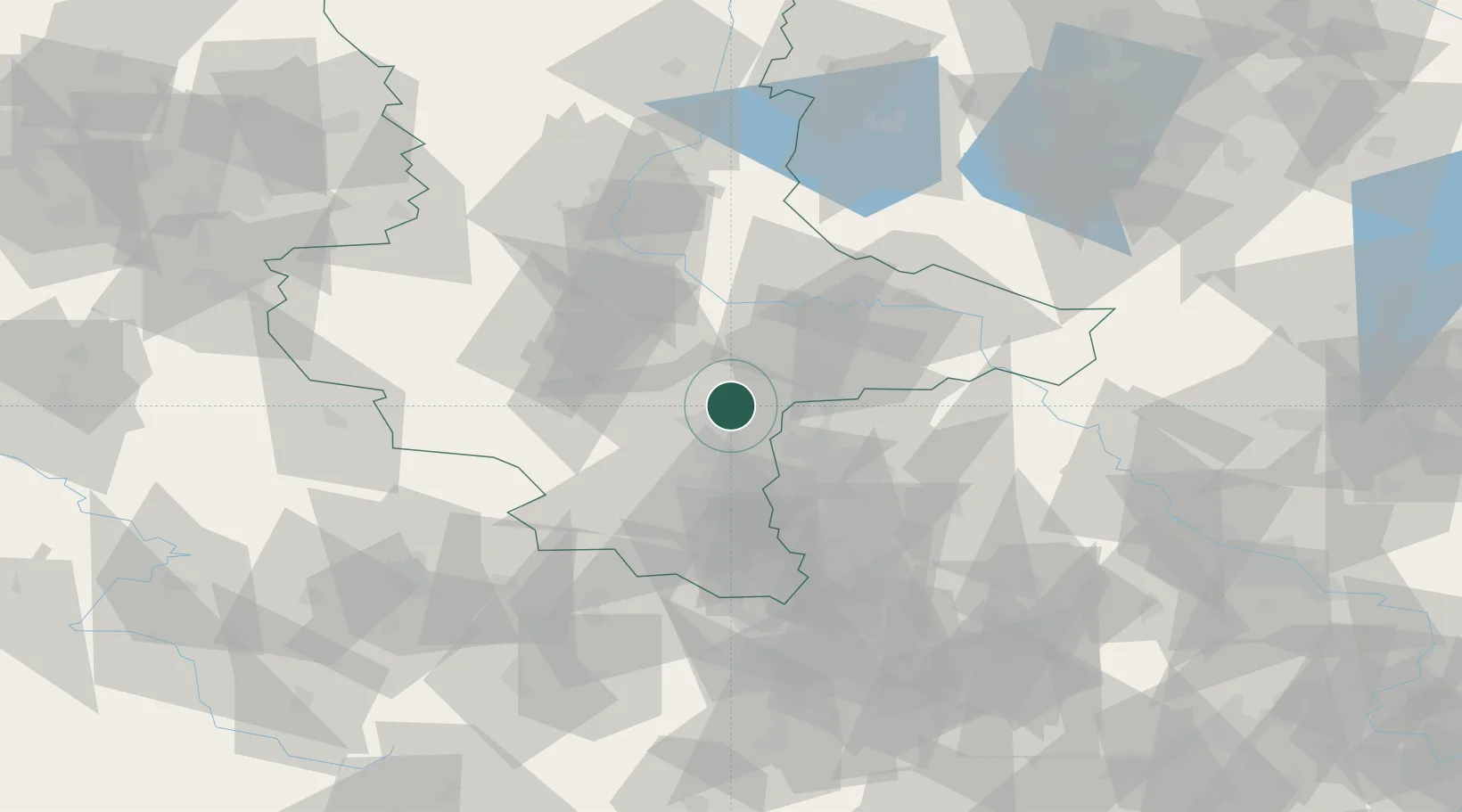
Location
Nearby Logistics Neighbours
Cities
- 1Brachstedt2 km
- 2Halle7 km
- 3Landsberg8 km
- 4Dölbau10 km
- 5Zörbig11 km
Ports
- 1Hamburg264 km
- 2Wismar264 km
- 3Szczecin269 km
- 4Lubeck275 km
- 5Lubeck-Travemunde280 km
Airports
- 1Leipzig/Halle Airport20 km
- 2Zerbst Airfield51 km
- 3Leipzig–Altenburg Airport71 km
- 4Holzdorf Air Base82 km
- 5Erfurt-Weimar Airport98 km
Trade Zones
- 1Most - Joseph Industrial Zone163 km
- 2Žatec - Triangle Strategic Industrial Zone166 km
- 3Podbořany Industrial Zone176 km
- 4Kostrzyń-Słubice SEZ213 km
- 5Szczecin Duty Free Zone270 km
DatabookThe Record of Consolidated Knowledge
Germany beyond logistics?