Transport Functions
Rail
Road
Hub Profile
Place type
Local administrative seat
Region
Saxony-Anhalt
Population
6,996
Time zone
Europe/Berlin
Elevation
119 m
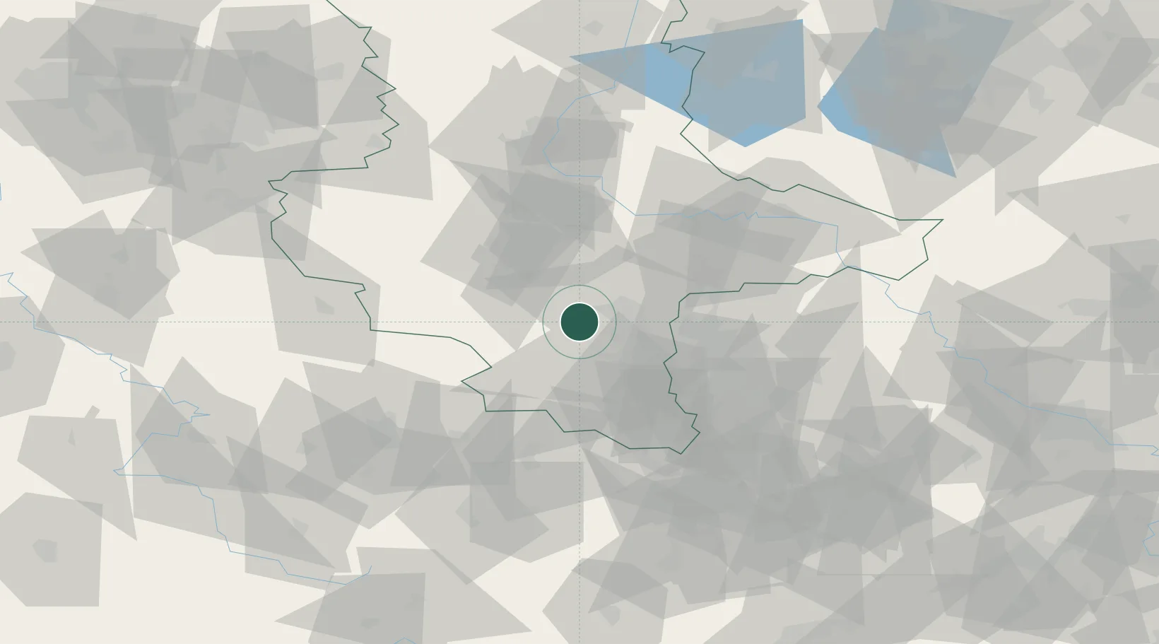
Location
Nearby Logistics Neighbours
Cities
- 1Amsdorf5 km
- 2Schafstädt8 km
- 3Röblingen am See9 km
- 4Salzmünde10 km
- 5Brachwitz10 km
Ports
- 1Hamburg266 km
- 2Wismar273 km
- 3Bremen279 km
- 4Lubeck281 km
- 5Lubeck-Travemunde287 km
Airports
- 1Leipzig/Halle Airport30 km
- 2Zerbst Airfield66 km
- 3Leipzig–Altenburg Airport72 km
- 4Erfurt-Weimar Airport79 km
- 5Holzdorf Air Base101 km
Trade Zones
DatabookThe Record of Consolidated Knowledge
Germany beyond logistics?