Transport Functions
Rail
Road
Hub Profile
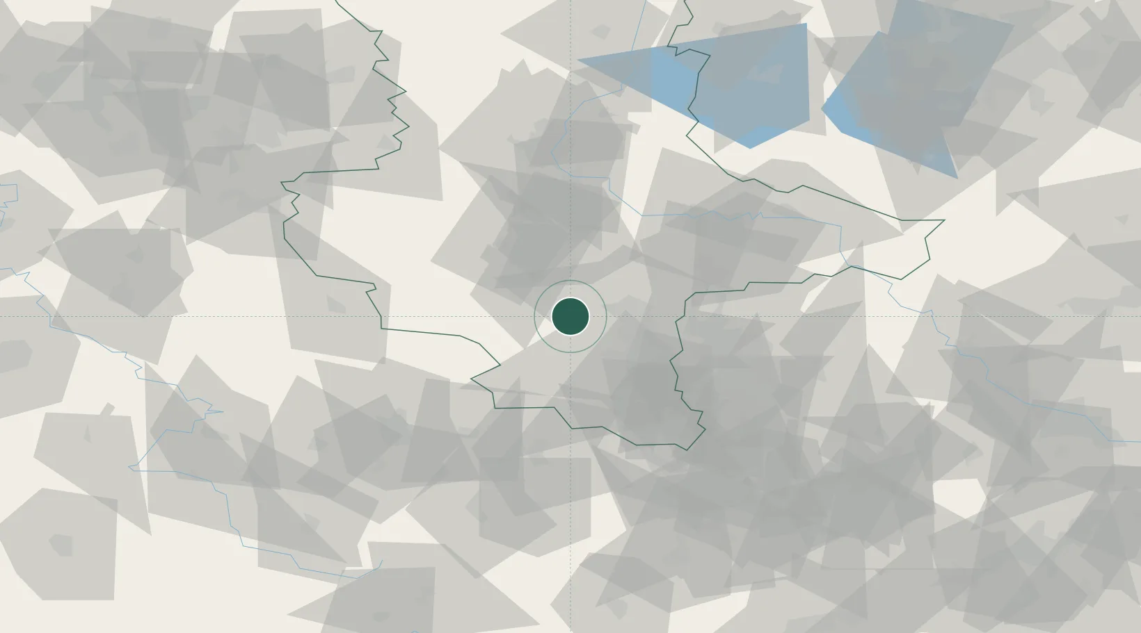
Place type
Populated place
Region
Saxony-Anhalt
Population
536
Time zone
Europe/Berlin
Elevation
95 m
Location
Nearby Logistics Neighbours
Cities
- 1Röblingen am See5 km
- 2Teutschenthal5 km
- 3Obhausen9 km
- 4Schafstädt10 km
- 5Salzmünde10 km
Ports
- 1Hamburg262 km
- 2Wismar271 km
- 3Bremen274 km
- 4Lubeck278 km
- 5Lubeck-Travemunde284 km
Airports
- 1Leipzig/Halle Airport35 km
- 2Zerbst Airfield66 km
- 3Leipzig–Altenburg Airport76 km
- 4Erfurt-Weimar Airport76 km
- 5Eisenach-Kindel Airport102 km
Trade Zones
DatabookThe Record of Consolidated Knowledge
Germany beyond logistics?