Transport Functions
Rail
Road
Hub Profile
Place type
Local administrative seat
Region
Baden-Wurttemberg
Population
3,665
Time zone
Europe/Berlin
Elevation
731 m
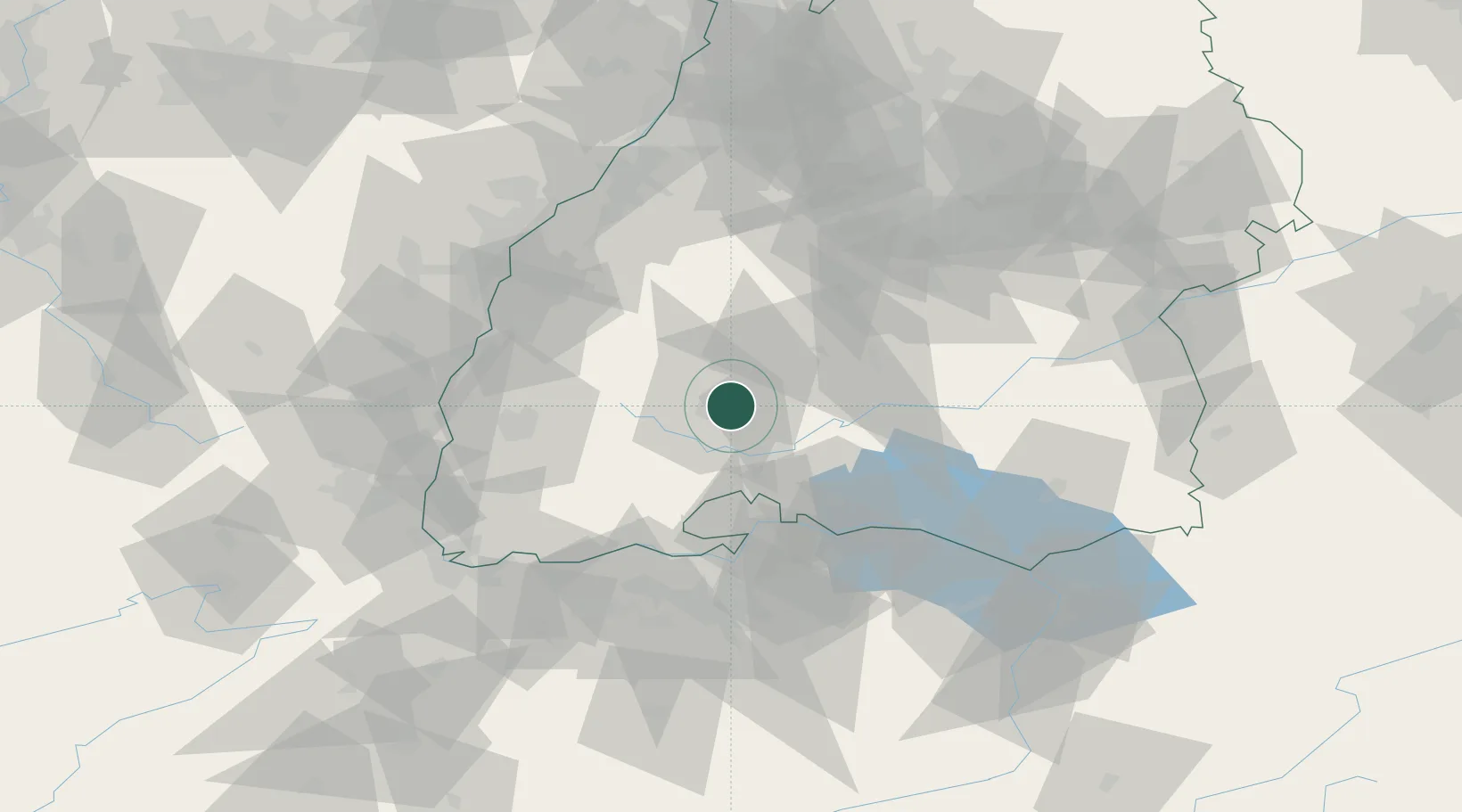
Location
Nearby Logistics Neighbours
Cities
- 1Bad Dürrheim8 km
- 2Villingen-Schwenningen8 km
- 3Monchweiler9 km
- 4Zimmern ob Rottweil10 km
- 5Unterkirnach14 km
Ports
- 1Genova411 km
- 2Porto Di Lido-Venezia419 km
- 3Savona419 km
- 4Chiavari - Lavagna424 km
- 5Rada Di Vado425 km
Airports
- 1Donaueschingen-Villingen Airfield12 km
- 2Mengen-Hohentengen Airfield61 km
- 3Lahr Airport62 km
- 4Zürich Airport70 km
- 5Dübendorf Air Base77 km
Trade Zones
- 1ZFU Neuhof77 km
- 2ZFU Hautepierre85 km
- 3ZFU Mulhouse98 km
- 4ZFU Belfort139 km
- 5ZFU Montbéliard147 km
DatabookThe Record of Consolidated Knowledge
Germany beyond logistics?