Transport Functions
Rail
Road
Hub Profile
Place type
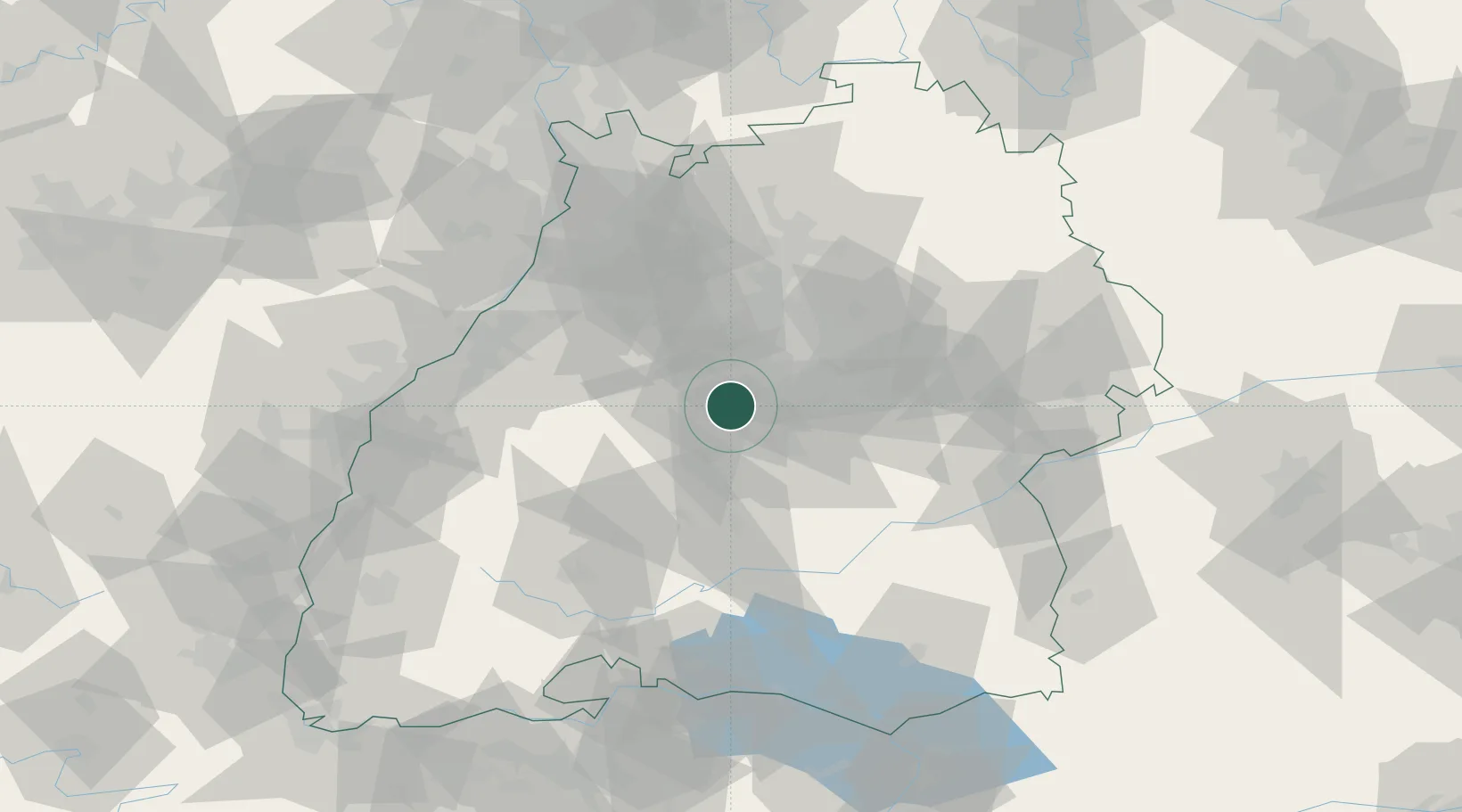
Populated place
Region
Baden-Wurttemberg
Population
11,613
Time zone
Europe/Berlin
Elevation
478 m
Location
Nearby Logistics Neighbours
Cities
- 1Ehningen7 km
- 2Sindelfingen7 km
- 3Gärtringen9 km
- 4Kirchentellinsfurt15 km
- 5Kusterdingen15 km
Ports
- 1Bruxelles417 km
- 2Antwerpen438 km
- 3Porto Di Lido-Venezia442 km
- 4Nogaro448 km
- 5Porto Di Chioggia453 km
Airports
- 1Stuttgart Airport16 km
- 2Mengen-Hohentengen Airfield70 km
- 3Karlsruhe Baden-Baden Airport71 km
- 4Adolf Würth Airport78 km
- 5Laupheim Air Base80 km
Trade Zones
- 1ZFU Neuhof93 km
- 2ZFU Hautepierre98 km
- 3ZFU Mulhouse159 km
- 4ZFU La Cité Behren-lès-Forbach164 km
- 5ZFU Belfort197 km
DatabookThe Record of Consolidated Knowledge
Germany beyond logistics?