Transport Functions
Rail
Road
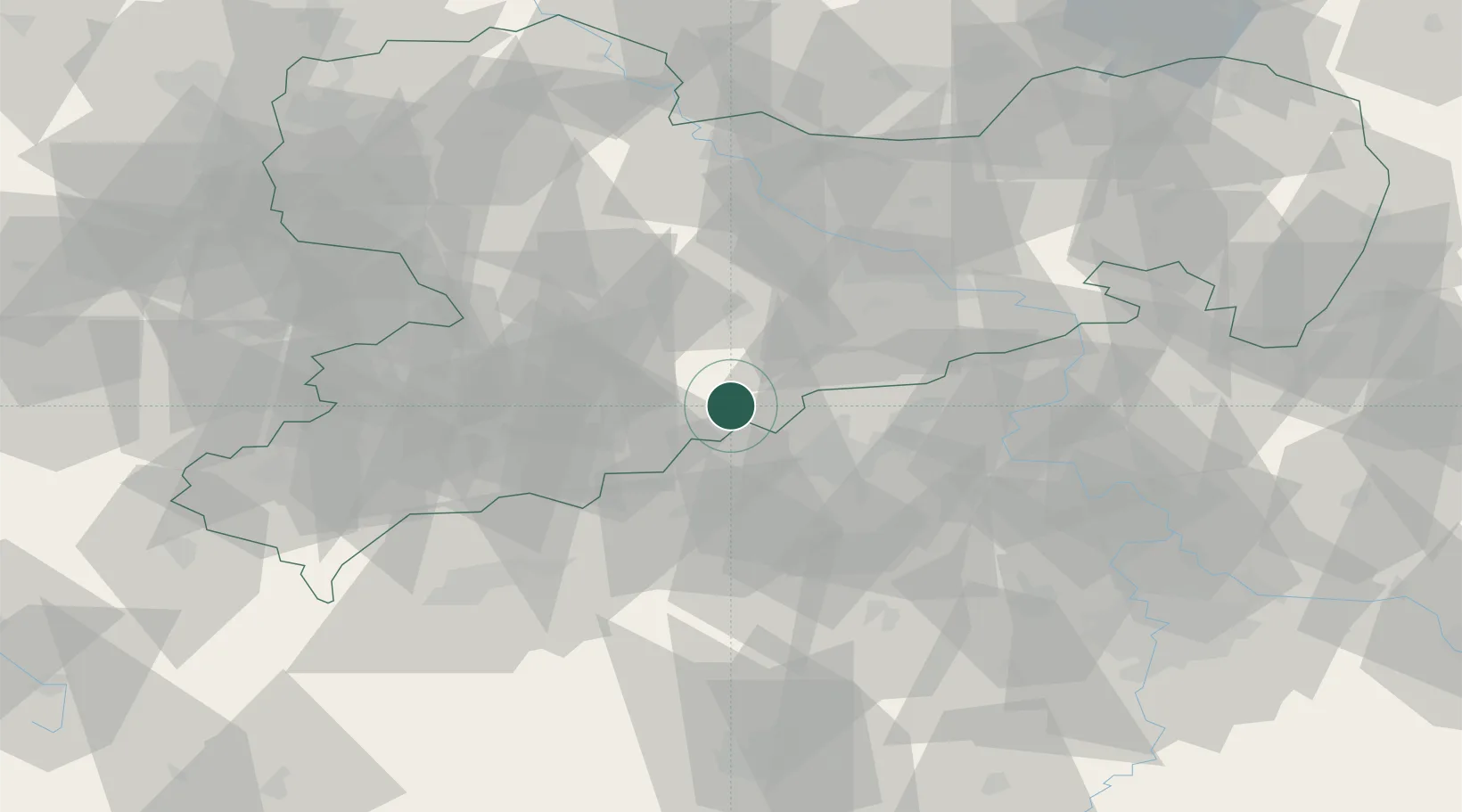
Hub Profile
Place type
Populated place
Region
Saxony
Population
11,162
Time zone
Europe/Berlin
Elevation
454 m
Location
Nearby Logistics Neighbours
Cities
- 1Zöblitz7 km
- 2Neuhausen9 km
- 3Deutschneudorf11 km
- 4Deutscheinsiedel11 km
- 5Lauta13 km
Ports
- 1Szczecin317 km
- 2Police333 km
- 3Swinoujscie367 km
- 4Wolgast377 km
- 5Wismar381 km
Airports
- 1Karlovy Vary Airport60 km
- 2Dresden Airport60 km
- 3Leipzig–Altenburg Airport68 km
- 4Vodochody Airport90 km
- 5Václav Havel Airport Prague91 km
Trade Zones
DatabookThe Record of Consolidated Knowledge
Germany beyond logistics?