UN/LOCODE hub · Germany
DEZJW

Schwanenmühle

49.3167°, 7.6500°
1
Transport functions

Transport Functions

Multimodal
UN/LOCODE

Hub Profile

Region
RP
GeoNames

Location

Location of DEZJW
Natural Earth 10m (public domain) · RP · DEZJW · 49.32, 7.65GoogleOSMYandex

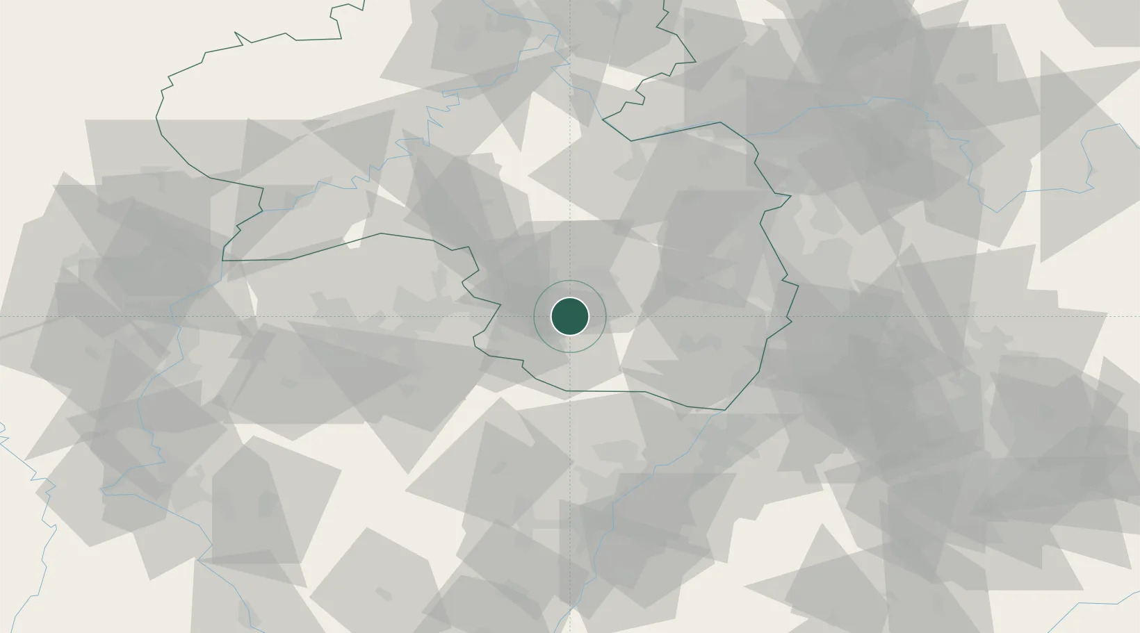
Nearby Logistics Neighbours

Cities
  1. 1Steinalben0 km
  2. 2Clausen6 km
  3. 3Waldfischbach-Burgalben6 km
  4. 4Stelzenberg8 km
  5. 5Leimen (Pfalz)9 km
Nearest neighbours — logibook spatial index (haversine) over the source coordinates
Ports
  1. 1Bruxelles292 km
  2. 2Antwerpen313 km
  3. 3Ghent340 km
  4. 4Dordrecht350 km
  5. 5Hansweert351 km
Nearest neighbours — logibook spatial index (haversine) over the source coordinates
Airports
  1. 1Ramstein Air Base14 km
  2. 2Saarbrücken Airport41 km
  3. 3Mannheim-City Airport65 km
  4. 4Karlsruhe Baden-Baden Airport68 km
  5. 5Phalsbourg-Bourscheid Air Base69 km
Nearest neighbours — logibook spatial index (haversine) over the source coordinates
Trade Zones
  1. 1ZFU La Cité Behren-lès-Forbach55 km
  2. 2ZFU Hautepierre80 km
  3. 3ZFU Neuhof87 km
  4. 4Luxembourg Free Port109 km
  5. 5ZFU Woippy-Metz111 km
Nearest neighbours — logibook spatial index (haversine) over the source coordinates
DatabookThe Record of Consolidated Knowledge
Germany beyond logistics?
Browse databook

All Sources

LocationsUN/LOCODE
UN/LOCODE — free
Portsthe NGA World Port Index
Public domain (US gov)
AirportsOurAirports
Public domain
Trade Zonesthe World Bank SEZ database
CC BY 4.0
Trade ZonesOpen Zone Map
CC BY
← Germany locations