Transport Functions
Multimodal
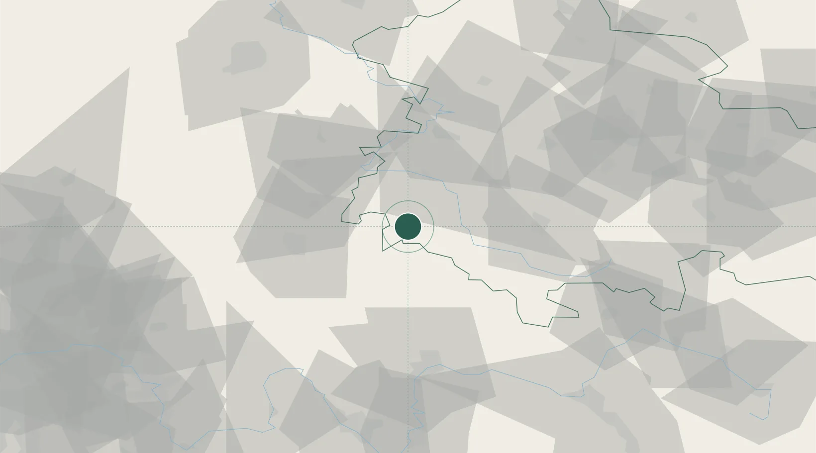
Hub Profile
Place type
Populated place
Region
Thuringia
Population
1,896
Time zone
Europe/Berlin
Elevation
440 m
Location
Nearby Logistics Neighbours
Cities
- 1Frankenheim13 km
- 2Schwallungen16 km
- 3Wasungen16 km
- 4Stadtlengsfeld17 km
- 5Ostheim vor der Rhön17 km
Airports
- 1Eisenach-Kindel Airport48 km
- 2Erfurt-Weimar Airport70 km
- 3Fritzlar Army Airfield82 km
- 4Bamberg-Breitenau Airfield95 km
- 5Kassel Airport104 km
Trade Zones
- 1Podbořany Industrial Zone235 km
- 2Žatec - Triangle Strategic Industrial Zone240 km
- 3Most - Joseph Industrial Zone247 km
- 4Freeport of Duisburg266 km
- 5Rheinische Revier SWZ267 km
DatabookThe Record of Consolidated Knowledge
Germany beyond logistics?