Transport Functions
Multimodal
Hub Profile
Place type
Populated place
Region
Bavaria
Time zone
Europe/Berlin
Elevation
452 m
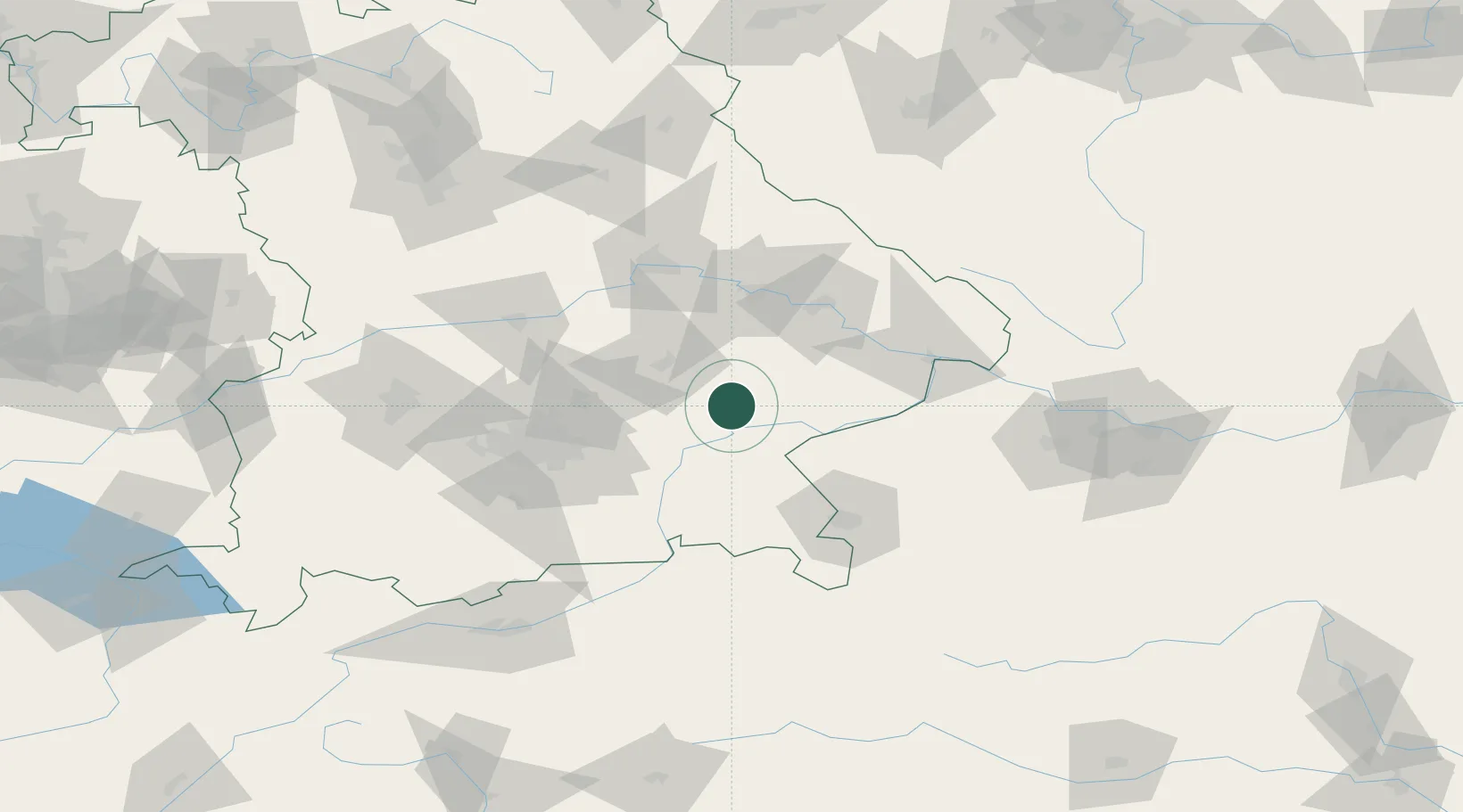
Location
Nearby Logistics Neighbours
Cities
- 1Neumarkt-Sankt Veit2 km
- 2Ampfing12 km
- 3Mühldorf am Inn13 km
- 4Töging am Inn13 km
- 5Vilsbiburg15 km
Ports
- 1Nogaro293 km
- 2Monfalcone297 km
- 3Grado301 km
- 4Trieste315 km
- 5Muggia321 km
Airports
- 1Landshut Airfield38 km
- 2Munich Airport52 km
- 3Salzburg Airport73 km
- 4Ingolstadt Manching Airport81 km
- 5Altstetten Ultralight Field89 km
Trade Zones
DatabookThe Record of Consolidated Knowledge
Germany beyond logistics?