Large airport · Austria
Salzburg AirportLOWS
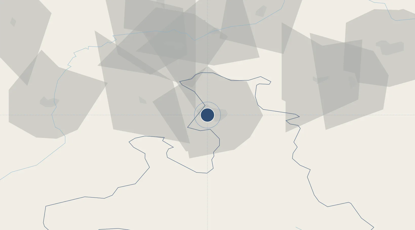
47.7933°, 13.0043°
9,022 ft
Longest runway
1
Runways
1,411 ft
Elevation
Runway & Layout

Radio Frequencies
ATIS
125.725 MHz
TWR
118.1 MHz
GND
121.75 MHz
APP
123.725 MHz
Navaids
SBG VOR-DME Salzburg 113.80 MHz
SBG NDB Salzburg 382 kHz
SI NDB Salzburg 410 kHz
SU NDB Salzburg 356 kHz
Runways · 1
| Runway | Dimensions | Surface | True heading | Lit |
|---|---|---|---|---|
| 15/33 | 9,022 × 148ft | Concrete | 157° | ✓ |
Airport Specifications
IATA code
SZG
ICAO code
LOWS
Airport class
Large airport
Scheduled service
Yes
Runway surface
Concrete
Served city
Salzburg
Location
Nearby Logistics Neighbours
Airports
- 1Linz-Hörsching Airport101 km
- 2Landshut Airfield108 km
- 3Munich Airport110 km
- 4Oberpfaffenhofen Airport132 km
- 5Innsbruck Airport138 km
Cities
- 1Hammerau4 km
- 2Salzburg5 km
- 3Anthering8 km
- 4Hallwang9 km
- 5Elixhausen9 km
Ports
- 1Nogaro227 km
- 2Monfalcone227 km
- 3Grado234 km
- 4Trieste245 km
- 5Muggia251 km
Trade Zones
- 1Freeport of Deggendorf118 km
- 2Free Port of Trieste245 km
- 3Livigno Free Trade Zone261 km
- 4Free Port of Venice268 km
- 5Podbořany Industrial Zone272 km
DatabookThe Record of Consolidated Knowledge
Austria beyond logistics?