Transport Functions
Rail
Road
Hub Profile
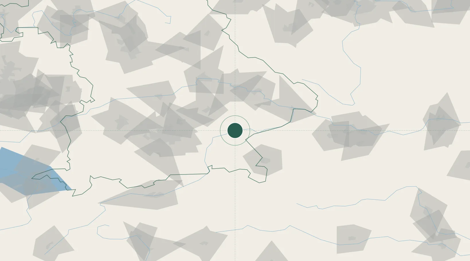
Place type
Populated place
Region
Bavaria
Population
9,392
Time zone
Europe/Berlin
Elevation
401 m
Location
Nearby Logistics Neighbours
Cities
- 1Mühldorf am Inn5 km
- 2Neuötting9 km
- 3Ampfing12 km
- 4Teising13 km
- 5Gendorf13 km
Ports
- 1Nogaro281 km
- 2Monfalcone284 km
- 3Grado289 km
- 4Trieste302 km
- 5Muggia308 km
Airports
- 1Landshut Airfield50 km
- 2Salzburg Airport60 km
- 3Munich Airport60 km
- 4Ingolstadt Manching Airport93 km
- 5Altstetten Ultralight Field96 km
Trade Zones
DatabookThe Record of Consolidated Knowledge
Germany beyond logistics?