UN/LOCODE hub · Germany
DENSV
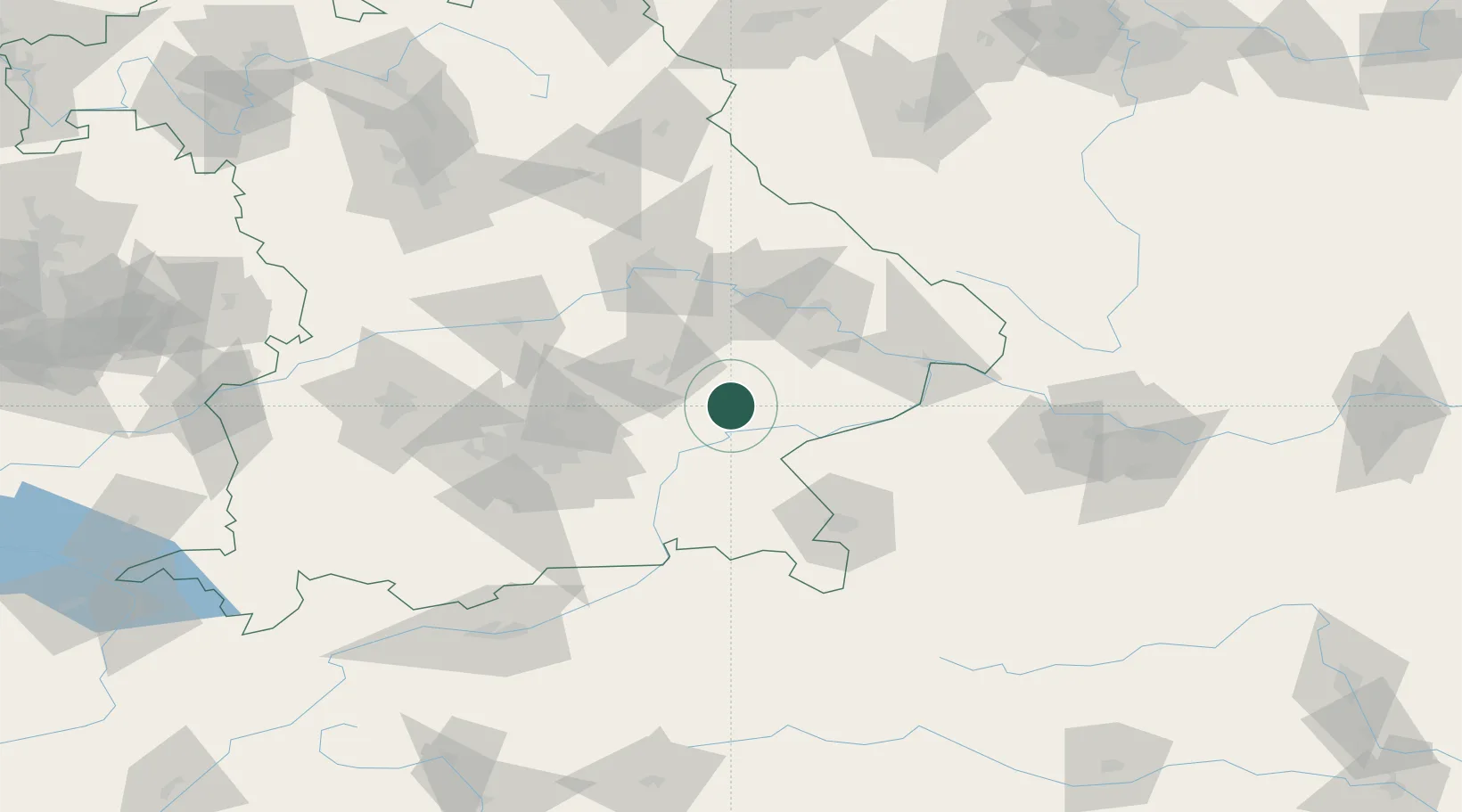
Neumarkt-Sankt Veit
48.3667°, 12.5000°
6,231
Population
3
Transport functions
Transport Functions
Port
Rail
Road
Hub Profile
Place type
Populated place
Region
Bavaria
Population
6,231
Time zone
Europe/Berlin
Elevation
444 m
Location
Nearby Logistics Neighbours
Cities
- 1Teising2 km
- 2Ampfing14 km
- 3Töging am Inn14 km
- 4Vilsbiburg14 km
- 5Mühldorf am Inn15 km
Ports
- 1Nogaro294 km
- 2Monfalcone298 km
- 3Grado303 km
- 4Trieste316 km
- 5Muggia322 km
Airports
- 1Landshut Airfield38 km
- 2Munich Airport53 km
- 3Salzburg Airport74 km
- 4Ingolstadt Manching Airport81 km
- 5Altstetten Ultralight Field90 km
Trade Zones
DatabookThe Record of Consolidated Knowledge
Germany beyond logistics?