Transport Functions
Port
Rail
Road
Hub Profile
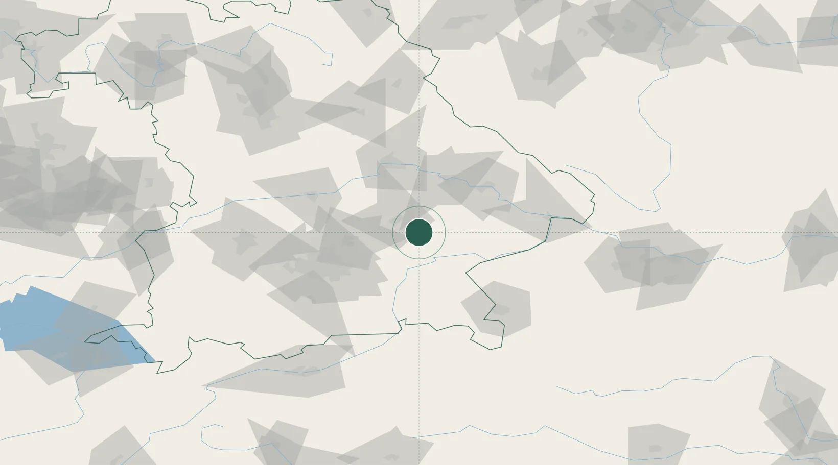
Place type
Populated place
Region
Bavaria
Population
11,416
Time zone
Europe/Berlin
Elevation
449 m
Location
Nearby Logistics Neighbours
Cities
- 1Velden (Vils)12 km
- 2Blumberg12 km
- 3Neumarkt-Sankt Veit14 km
- 4Munchsdorf15 km
- 5Teising15 km
Ports
- 1Nogaro306 km
- 2Monfalcone310 km
- 3Grado314 km
- 4Trieste329 km
- 5Muggia335 km
Airports
- 1Landshut Airfield24 km
- 2Munich Airport43 km
- 3Ingolstadt Manching Airport67 km
- 4Altstetten Ultralight Field80 km
- 5Salzburg Airport88 km
Trade Zones
DatabookThe Record of Consolidated Knowledge
Germany beyond logistics?