Transport Functions
Multimodal
Hub Profile
Place type
Local administrative seat
Region
Bavaria
Population
6,188
Time zone
Europe/Berlin
Elevation
418 m
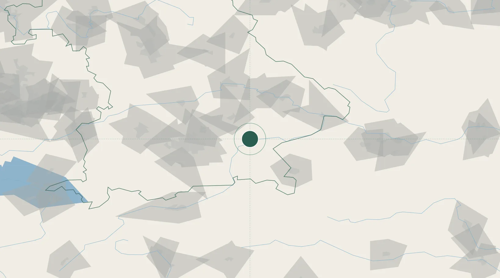
Location
Nearby Logistics Neighbours
Cities
- 1Mühldorf am Inn8 km
- 2Obertaufkirchen10 km
- 3Teising12 km
- 4Töging am Inn12 km
- 5Schwindegg13 km
Ports
- 1Nogaro283 km
- 2Monfalcone287 km
- 3Grado292 km
- 4Trieste306 km
- 5Muggia312 km
Airports
- 1Landshut Airfield41 km
- 2Munich Airport48 km
- 3Salzburg Airport67 km
- 4Ingolstadt Manching Airport83 km
- 5Altstetten Ultralight Field84 km
Trade Zones
DatabookThe Record of Consolidated Knowledge
Germany beyond logistics?