UN/LOCODE hub · Germany
DEMUF

Mühldorf am Inn

48.2333°, 12.5167°
2
Transport functions

Transport Functions

Rail
Road
UN/LOCODE

Hub Profile

Region
BY
GeoNames

Location

Location of DEMUF
Natural Earth 10m (public domain) · BY · DEMUF · 48.23, 12.52GoogleOSMYandex

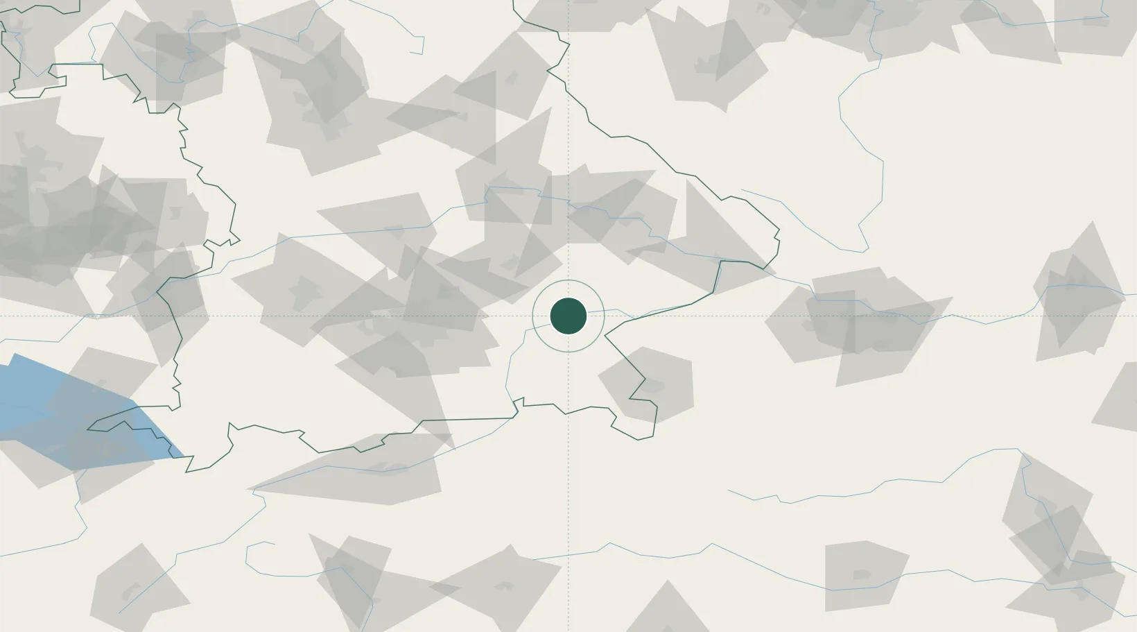
Nearby Logistics Neighbours

Cities
  1. 1Töging am Inn5 km
  2. 2Ampfing8 km
  3. 3Engelsberg13 km
  4. 4Teising13 km
  5. 5Neuötting14 km
Nearest neighbours — logibook spatial index (haversine) over the source coordinates
Ports
  1. 1Nogaro280 km
  2. 2Monfalcone284 km
  3. 3Grado288 km
  4. 4Trieste302 km
  5. 5Muggia308 km
Nearest neighbours — logibook spatial index (haversine) over the source coordinates
Airports
  1. 1Landshut Airfield47 km
  2. 2Munich Airport56 km
  3. 3Salzburg Airport61 km
  4. 4Ingolstadt Manching Airport90 km
  5. 5Altstetten Ultralight Field91 km
Nearest neighbours — logibook spatial index (haversine) over the source coordinates
Trade Zones
  1. 1Freeport of Deggendorf74 km
  2. 2Podbořany Industrial Zone231 km
  3. 3Žatec - Triangle Strategic Industrial Zone251 km
  4. 4Livigno Free Trade Zone263 km
  5. 5Most - Joseph Industrial Zone263 km
Nearest neighbours — logibook spatial index (haversine) over the source coordinates
DatabookThe Record of Consolidated Knowledge
Germany beyond logistics?
Browse databook

All Sources

LocationsUN/LOCODE
UN/LOCODE — free
Portsthe NGA World Port Index
Public domain (US gov)
AirportsOurAirports
Public domain
Trade Zonesthe World Bank SEZ database
CC BY 4.0
Trade ZonesOpen Zone Map
CC BY
← Germany locations