UN/LOCODE hub · Germany
DEEAM
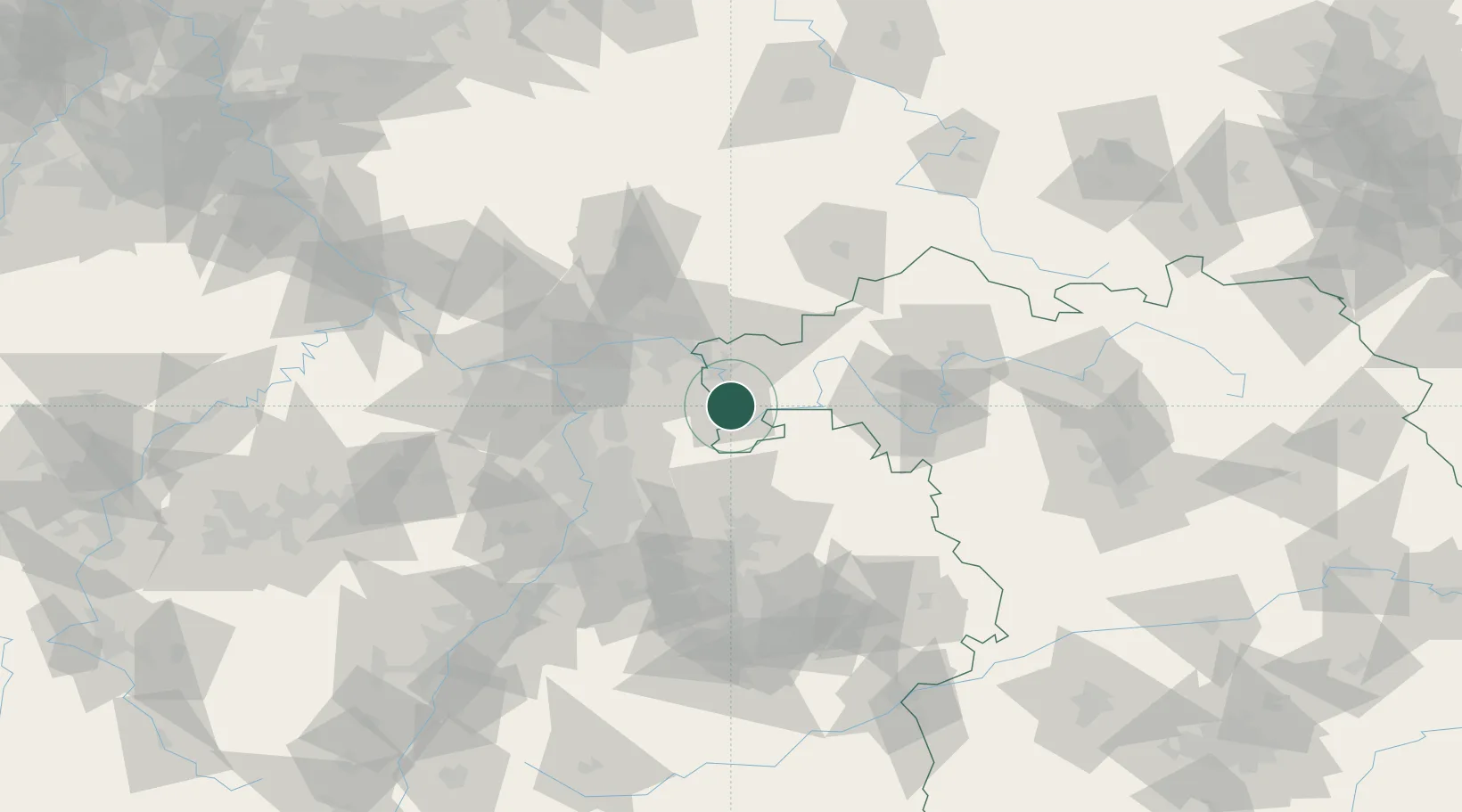
Erlenbach am Main
49.8000°, 9.1667°
10,235
Population
3
Transport functions
Transport Functions
Port
Rail
Road
Hub Profile
Place type
Populated place
Region
Bavaria
Population
10,235
Time zone
Europe/Berlin
Elevation
138 m
Location
Nearby Logistics Neighbours
Cities
- 1Klingenberg am Main2 km
- 2Elsenfeld4 km
- 3Obernburg am Main4 km
- 4Lützelbach6 km
- 5Kleinwallstadt7 km
Airports
- 1Frankfurt-Egelsbach Airport42 km
- 2Frankfurt Main Airport50 km
- 3Mannheim-City Airport59 km
- 4Wiesbaden Army Airfield66 km
- 5Niederstetten Army Air Base73 km
Trade Zones
- 1ZFU Hautepierre172 km
- 2ZFU Neuhof173 km
- 3ZFU La Cité Behren-lès-Forbach176 km
- 4Luxembourg Free Port212 km
- 5ZFU Woippy-Metz230 km
DatabookThe Record of Consolidated Knowledge
Germany beyond logistics?