Transport Functions
Multimodal
Hub Profile
Region
HE
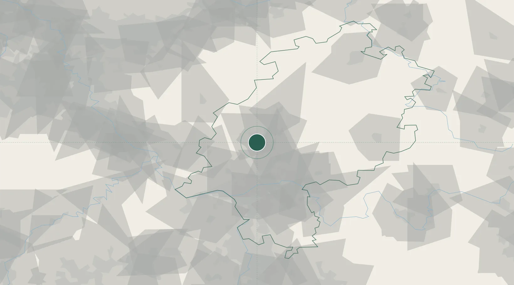
Location
Nearby Logistics Neighbours
Airports
- 1Siegerland Airport40 km
- 2Wiesbaden Army Airfield53 km
- 3Frankfurt Main Airport53 km
- 4Frankfurt-Egelsbach Airport60 km
- 5Mainz-Finthen Airfield66 km
Trade Zones
- 1Rheinische Revier SWZ159 km
- 2Freeport of Duisburg173 km
- 3ZFU La Cité Behren-lès-Forbach188 km
- 4Luxembourg Free Port192 km
- 5ZFU Hautepierre221 km
DatabookThe Record of Consolidated Knowledge
Germany beyond logistics?