UN/LOCODE hub · Germany
DELDN

Linden

50.5167°, 8.6500°
159
Population
2
Transport functions

Transport Functions

Rail
Road
UN/LOCODE

Hub Profile

Place type
Local administrative seat
GeoNames
Region
Rheinland-Pfalz
GeoNames
Population
159
GeoNames
Time zone
Europe/Berlin
GeoNames
Elevation
449 m
GeoNames

Location

Location of DELDN
Natural Earth 10m (public domain) · Rheinland-Pfalz · DELDN · 50.52, 8.65GoogleOSMYandex

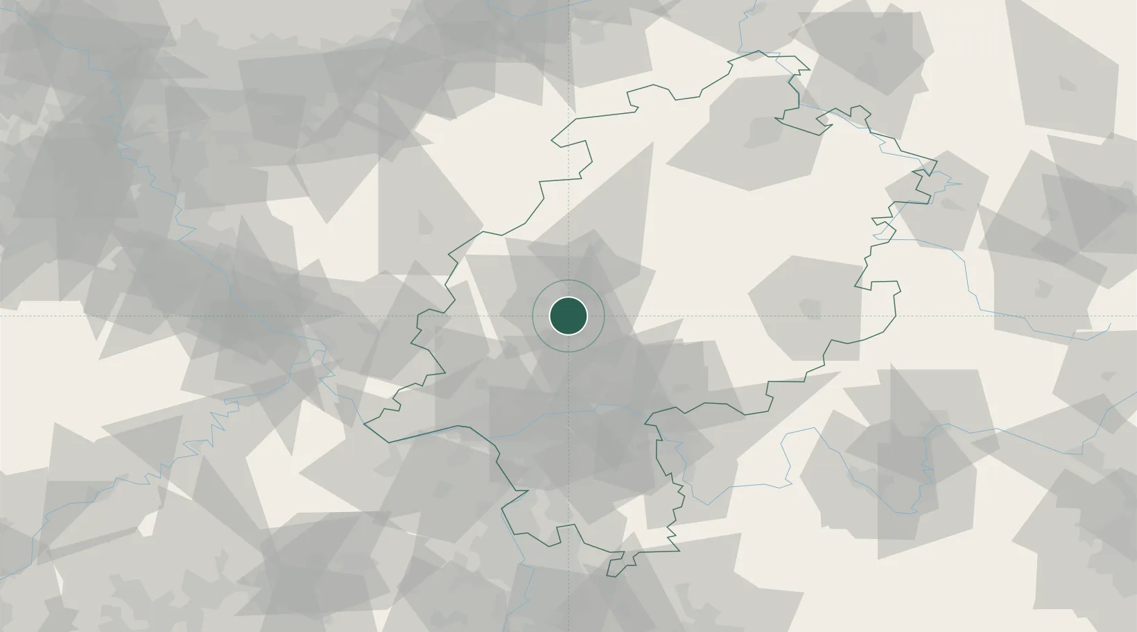
Nearby Logistics Neighbours

Cities
  1. 1Langgöns4 km
  2. 2Hüttenberg7 km
  3. 3Giessen7 km
  4. 4Butzbach10 km
  5. 5Lich12 km
Nearest neighbours — logibook spatial index (haversine) over the source coordinates
Ports
  1. 1Oldenburg291 km
  2. 2Bremen291 km
  3. 3Papenburg300 km
  4. 4Elsfleth302 km
  5. 5Leer313 km
Nearest neighbours — logibook spatial index (haversine) over the source coordinates
Airports
  1. 1Siegerland Airport45 km
  2. 2Frankfurt Main Airport55 km
  3. 3Wiesbaden Army Airfield57 km
  4. 4Frankfurt-Egelsbach Airport62 km
  5. 5Mainz-Finthen Airfield71 km
Nearest neighbours — logibook spatial index (haversine) over the source coordinates
Trade Zones
  1. 1Rheinische Revier SWZ166 km
  2. 2Freeport of Duisburg178 km
  3. 3ZFU La Cité Behren-lès-Forbach194 km
  4. 4Luxembourg Free Port199 km
  5. 5ZFU Hautepierre225 km
Nearest neighbours — logibook spatial index (haversine) over the source coordinates
DatabookThe Record of Consolidated Knowledge
Germany beyond logistics?
Browse databook

All Sources

LocationsUN/LOCODE
UN/LOCODE — free
LocationsGeoNames
CC BY 4.0
Portsthe NGA World Port Index
Public domain (US gov)
AirportsOurAirports
Public domain
Trade Zonesthe World Bank SEZ database
CC BY 4.0
Trade ZonesOpen Zone Map
CC BY
← Germany locations