Transport Functions
Rail
Road
Hub Profile
Place type
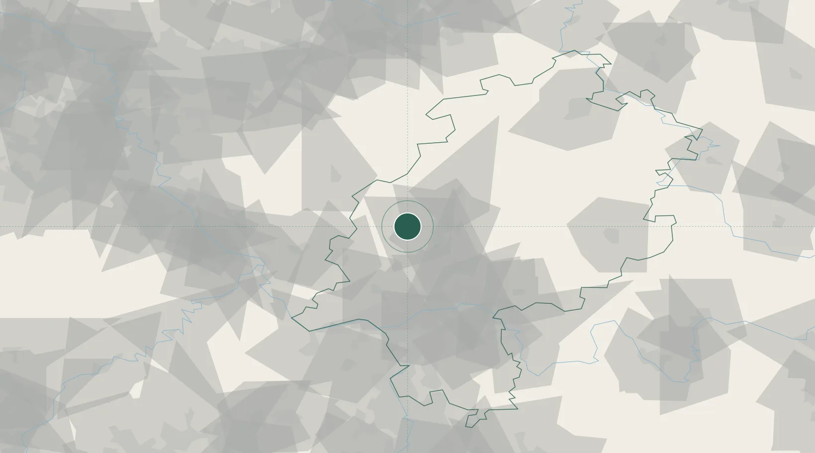
Populated place
Region
Hesse
Population
13,772
Time zone
Europe/Berlin
Elevation
166 m
Location
Nearby Logistics Neighbours
Cities
- 1Leun9 km
- 2Sinn11 km
- 3Fleisbach12 km
- 4Bischoffen13 km
- 5Mittenaar13 km
Airports
- 1Siegerland Airport30 km
- 2Wiesbaden Army Airfield62 km
- 3Frankfurt Main Airport64 km
- 4Frankfurt-Egelsbach Airport72 km
- 5Mainz-Finthen Airfield74 km
Trade Zones
- 1Rheinische Revier SWZ151 km
- 2Freeport of Duisburg162 km
- 3Luxembourg Free Port192 km
- 4ZFU La Cité Behren-lès-Forbach194 km
- 5ZFU Hautepierre230 km
DatabookThe Record of Consolidated Knowledge
Germany beyond logistics?