Transport Functions
Rail
Road
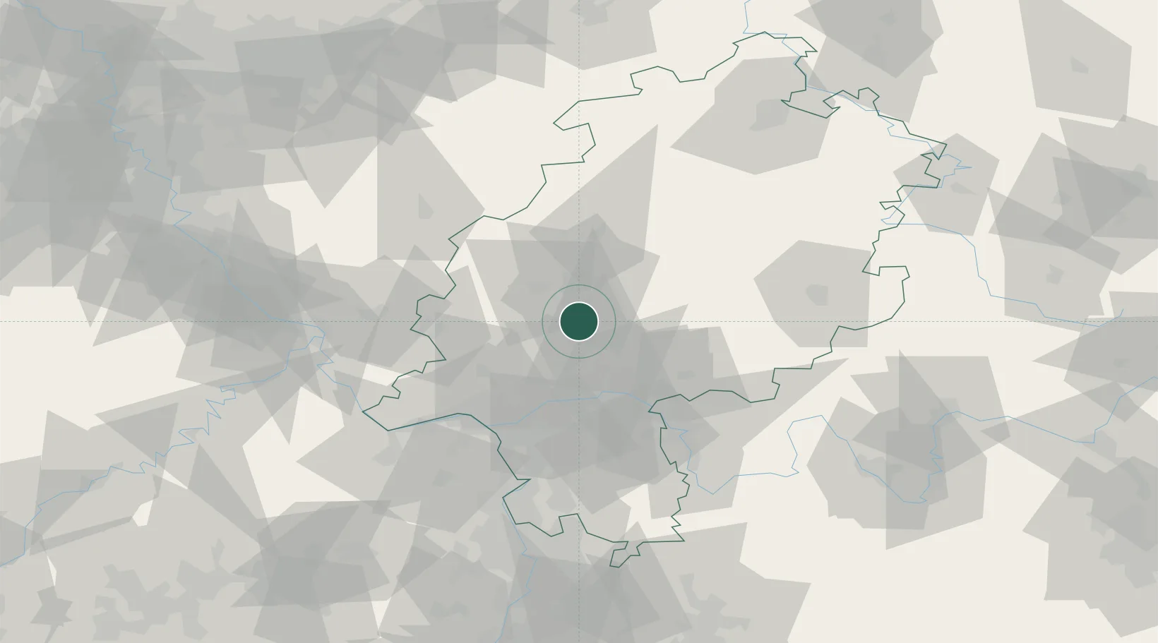
Hub Profile
Place type
Populated place
Region
Hesse
Population
25,156
Time zone
Europe/Berlin
Elevation
206 m
Location
Nearby Logistics Neighbours
Cities
- 1Langgöns6 km
- 2Ober-Mörlen7 km
- 3Linden10 km
- 4Wölfersheim10 km
- 5Hüttenberg12 km
Airports
- 1Frankfurt Main Airport46 km
- 2Wiesbaden Army Airfield50 km
- 3Siegerland Airport52 km
- 4Frankfurt-Egelsbach Airport53 km
- 5Mainz-Finthen Airfield64 km
Trade Zones
- 1Rheinische Revier SWZ171 km
- 2Freeport of Duisburg185 km
- 3ZFU La Cité Behren-lès-Forbach189 km
- 4Luxembourg Free Port197 km
- 5ZFU Hautepierre217 km
DatabookThe Record of Consolidated Knowledge
Germany beyond logistics?