Transport Functions
Rail
Road
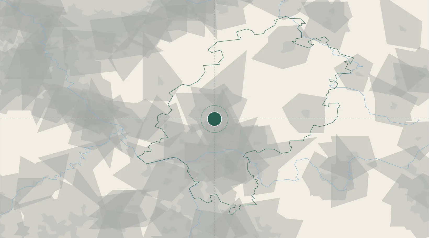
Hub Profile
Place type
Local administrative seat
Region
Hesse
Population
12,283
Time zone
Europe/Berlin
Elevation
207 m
Location
Nearby Logistics Neighbours
Cities
- 1Linden4 km
- 2Butzbach6 km
- 3Hüttenberg7 km
- 4Giessen11 km
- 5Birklar12 km
Airports
- 1Siegerland Airport47 km
- 2Frankfurt Main Airport51 km
- 3Wiesbaden Army Airfield53 km
- 4Frankfurt-Egelsbach Airport58 km
- 5Mainz-Finthen Airfield68 km
Trade Zones
- 1Rheinische Revier SWZ167 km
- 2Freeport of Duisburg180 km
- 3ZFU La Cité Behren-lès-Forbach192 km
- 4Luxembourg Free Port197 km
- 5ZFU Hautepierre221 km
DatabookThe Record of Consolidated Knowledge
Germany beyond logistics?